Polar explorers use satellite broadband to stay in touch
A team of young explorers from the Climate Change College are on a ten day field trip, participating in ESA's CryoSat validation experiment on the Greenland Ice Sheet. To stay in touch, the team is using Inmarsat's Broadband Global Area Network (BGAN), a technology development supported by ESA.
Led by Dutch polar explorer Marc Cornelissen, the students have set up camp on the ice and are assisting with experiments which will be used to validate results from the CryoSat mission. Ground measurements made by the students will be compared with those obtained from an aircraft carrying the ASIRAS radar altimeter to simulate CryoSat measurements.
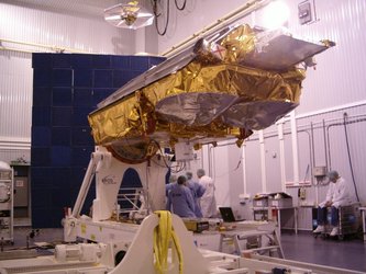
The CryoSat-2 mission is expected to be launched in March 2009 and will answer the question of whether global climate change is causing the polar ice caps to shrink, a contentious issue in the global warming debate. CryoSat will do this by monitoring precise changes in the thickness of the polar ice sheets and floating sea ice.
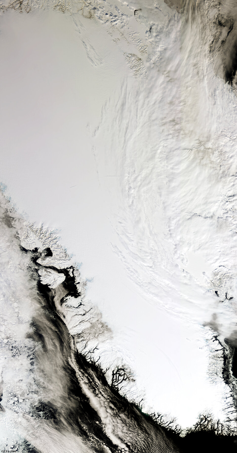
On 3 May, the team travelled by helicopter from Ilulissat to a data point designated T05 located on the ice sheet. In daytime temperatures of minus 20 degrees centigrade, the students are conducting field work in the area around T05 before departing again for Ilulissat on 10 May.
To allow the team to stay in touch with media organizations around the world by phone, e-mail and video link and also to update their web logs, Inmarsat has provided free use of one of their newest satellites and Radio Holland have loaned the expedition a BGAN terminal manufactured by Hughes, one of several companies now offering this equipment.
The Inmarsat-4 F2 satellite located at 53 degrees west became operational in late April 2006. It is one of a constellation of two satellites, with a third held on the ground as a reserve. The constellation offers coverage over 85% of the Earth's surface and 98% of its population. Ilulissat, where a trial took place earlier this week, is located at 69 degrees north, well within range of Inmarsat's maximum northerly reach of 80 degrees.
Broadband Global Area Network (BGAN)
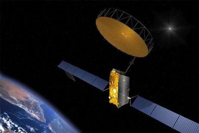
BGAN, the payload aboard the Inmarsat satellite which is making communications for the expedition possible, was conceived in response to the demand for mobile broadband data. Previous solutions found it difficult to combine high bandwidth with wide coverage, reliability and portability. The Broadband Global Area Network (BGAN) system, designed to operate with the Inmarsat-4 satellites, provides breakthrough services that meet all of these requirements.
Mobile users can make simultaneous voice and broadband data connections, before packing up and moving on in the time it takes to stow a laptop PC and BGAN satellite terminal.

BGAN's introduction fills in coverage gaps left by limited terrestrial networks. It is accessed by using a small, highly portable satellite terminal, which is quick to set up and low-cost. In many instances, using BGAN airtime is actually cheaper than international voice and GPRS roaming on cellular networks.
Inmarsat became interested in supporting the expedition after a suggestion from ESA. Establishing reliable broadband satellite communication so far north and under such extreme conditions demonstrates both the capabilities of the BGAN system and the ruggedness and portability of the terminals.
Inmarsat has been working with ESA since 2003 to bring the benefits of BGAN to the maritime, aeronautical and land-vehicular environments. This is being carried out in a follow-on project called BGAN extension.