Earth observation finds a role in environmental treaties
Officials at international groups dealing with some of the world’s most pressing environmental problems agree that satellite imagery could be of enormous benefit in implementing environmental treaties. Less certain, however, is which imagery-based products and services will prove useful, how they will be developed, and by what means they will reach end users, particularly in poorer countries, in a timely, cost-effective manner.
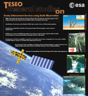
Representatives from four such groups, more formally known as 'Conventions' in diplomatic parlance, met for two days in mid-June to discuss these and other issues as part of the second users’ brainstorming session, TUBE II, organized by ESA’s TESEO activity. TESEO, for Treaty Enforcement Support using Earth Observation, was started last year to explore the potential of satellite imagery in supporting the implementation of environmental treaties.
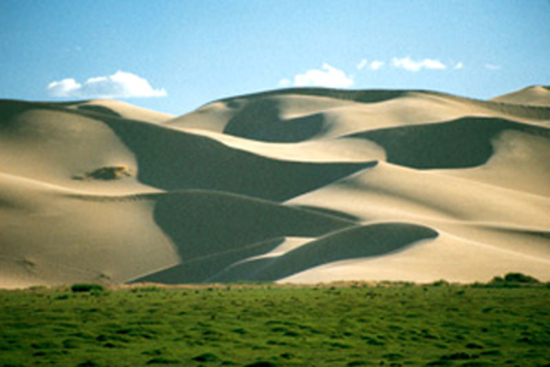
Earth observation data will contribute to the ability of signatories to multilateral environmental agreements to move from detecting problems to mitigating them, according to Jan Sheltinga, environmental affairs officer for the Secretariat of the UN Convention to Combat Desertification (UNCCD).
The desertification treaty is designed to stem land degradation in dryland ecosystems, one-third of the world’s land area, through local programmes and supportive international partnerships.
“Parties to the UNCCD recognize that strategies to combat desertification and mitigate the effects of drought will be most effective if they are based on sound, systematic observation and rigorous scientific knowledge,” she said. “Earth observation can contribute to this global bank of technical knowledge, especially when the Parties [treaty signatories] are identifying strategies to reduce the vulnerability of affected populations.”
“Recent advances in space technology have improved the ability to use various Earth observation tools for efficient environmental monitoring and to address issues related to early warning, especially for drought,” she added.
Climate change and the Kyoto Protocol

Another TUBE II participant, the UN Framework Convention on Climate Change (UNFCCC), was adopted in 1992 as the first step in addressing one of the most urgent environmental problems facing mankind. Five years later, many nations took another step and adopted the landmark Kyoto Protocol with its groundbreaking, legally binding limitations restraints on greenhouse gas anthropogenic emissions.
For Claudio Forner, an officer for the MIS programme at the climate-change Secretariat, Earth observation data could help the Convention fulfil some of its responsibilities.
“From our perspective, Earth observation data could be a very useful tool in our meeting the Convention’s needs for assessment, monitoring and reporting,” Forner said. “Parties to the UNFCC have agreed to a set of duties where such data could be valuable.”
The most relevant area for satellite imagery to be beneficial, Forner continued, could be in monitoring and analysing the dynamics of forests and other land-use related activities where size is a problem. Satellite imagery could be an important tool in supporting emissions estimates and the removal of greenhouse gases. In addition, Earth observation data could be used to assess the impact of global climate changes.
“There exists a great potential in assessing the consequences of climate change on ecosystems, urban areas and others,” the UNFCC official added.
Imagery aids the fight against marine pollution
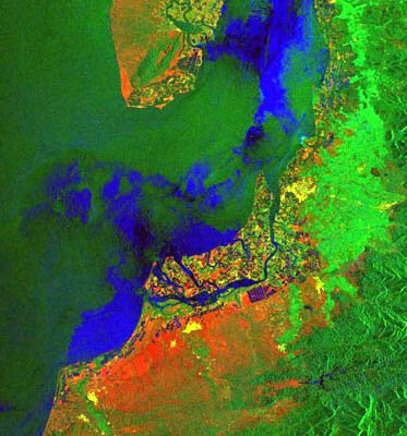
The Regional Marine Pollution Emergency Response Centre for the Mediterranean Sea (REMPEC) was originally established in 1976 under the Barcelona Convention for combating Mediterranean pollution. As part of its responsibilities, the centre also promotes regional cooperation to prevent marine environmental pollution by ships.
A TESEO participant, REMPEC has already worked with ESA for several years in a pilot project to test the reliability and timeliness of Earth observation data, according to Admiral Roberto Patruno, the centre’s director. Satellite data was received from ESA Earth observation satellites on suspected pollution sites, such as oil spills or waste discharges, then relayed to operational centres for verification of the incident.
“Part of our job on spills and other types of pollution is to distribute the information that we think would be of interest to our member states,” Patruno said. “Satellite imagery is the kind of tool that can definitely help the decision-making process in the cases of pollution incidents, provided that we solve some problems related to the reliability of the data, the gap of time between the detection of the suspected pollution and its availability at the operational centres, and the cost of the service.”
In fighting marine pollution, however, fast turnaround times of relevant information are critical. “Discharges at sea can be diluted in the water in a very short period of time, sometimes only hours,” Patruno said. “So far as effectively using satellite imagery, we face a significant time gap -- from the time the satellite detects something to the time the information reaches the hands of the operational decision-makers.”
These types of issues are exactly the sorts of practical problems in implementing environmental treaties that TESEO is expected to address. “With TESEO, we are moving in the right direction,” Patruno added.
Unexpected benefits
Two, possibly surprising, benefits are coming out of the TESEO process of bringing together space scientists and imagery researchers together with Convention representatives and end users, according to Nick Davidson, deputy secretary general for the secretariat of the Convention on Wetlands.
The first is a better understanding of what Earth observation techniques and methodologies not to use. “The negative side of the coin, for us, is as important as the positive – what won’t yield a usable product,” he said.
The second is the collaborative experience of sharing information with the other environmental Conventions involved in TESEO.
“The coordination among Conventions is developing, and TESEO is a part of that process,” Davidson said. ”It’s important to ensure that a consistent viewpoint reaches national policy makers and that different Earth observation solutions are not developed for differing Conventions that might risk conflicting implementations and confuse decision-makers.”
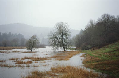
The Convention on Wetlands, also known as the Ramsar Convention (after the city in Iran where the treaty was signed in 1971), deals with setting a framework for both national action and international cooperation for the use of wetlands and related resources.

The biggest issues to be faced in developing practical products and services that take advantage of the latest advances in satellite imagery and data-processing techniques may not be technical, but economic and political, Davidson adds.
“The real challenge is to take remote-sensing data and make it usable on a variety of scales to support implementation on a variety of levels and for a variety of purposes --from a global, supra-national scale for our member states, to a national level for government decision-makers and down to a site level for a wetlands manager,” Davidson said. “And to provide these techniques and capacities to aid the decision-making processes in poorer, lesser developed countries.”
UNCCD’s Sheltinga reinforces the point that the challenge is to add capacity development for end users of Earth observation data as an integral part of future TESEO-type collaborative processes.
“Parties to the UNCCD are among the poorest countries in the world,” Sheltinga said. “In order for developing countries to benefit fully from any partnership between ESA, information service providers and end users, initiatives that aim to develop the technical expertise of individuals and institutions in countries affected by desertification are pre-requisites.”