
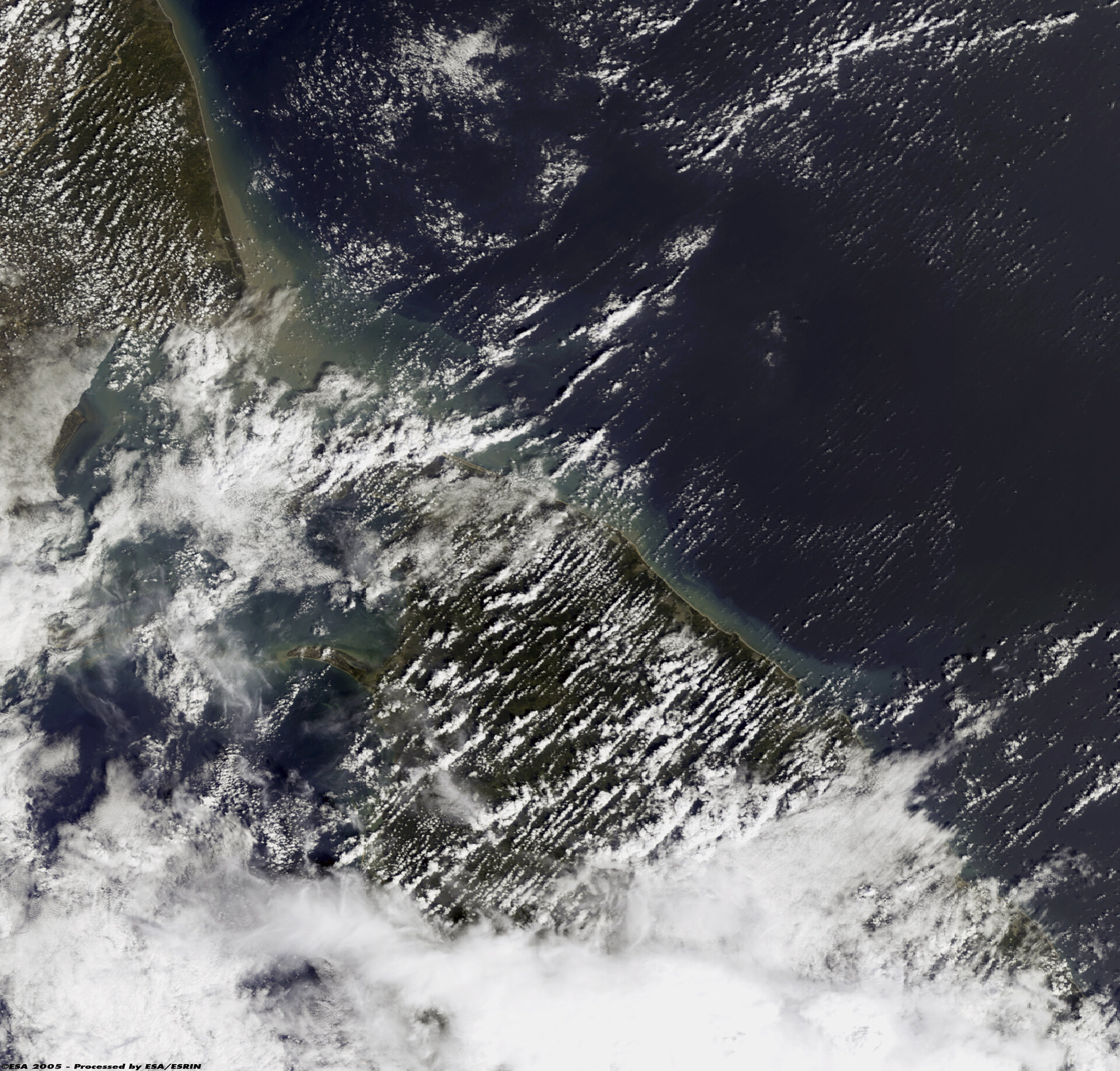
Satellite images of Asian disaster
A week after the tsunami that hit Asia on 26 December the death toll is still rising. Nearly 140 000 people are confirmed dead, more than 1.8 million people need food aid and an estimated five million are homeless.
The tsunami formed when an earthquake of 9.0 magnitude vertically jolted the seabed by several metres, displacing hundreds of cubic kilometres of water. The epicentre was 320 km west of Medan, just off the west coast of the Indonesia island of Sumatra. The people of Indonesia, Sri Lanka, India and Thailand are hardest hit but people in countries as far away as Kenya and Tanzania have also suffered damage and loss of life.
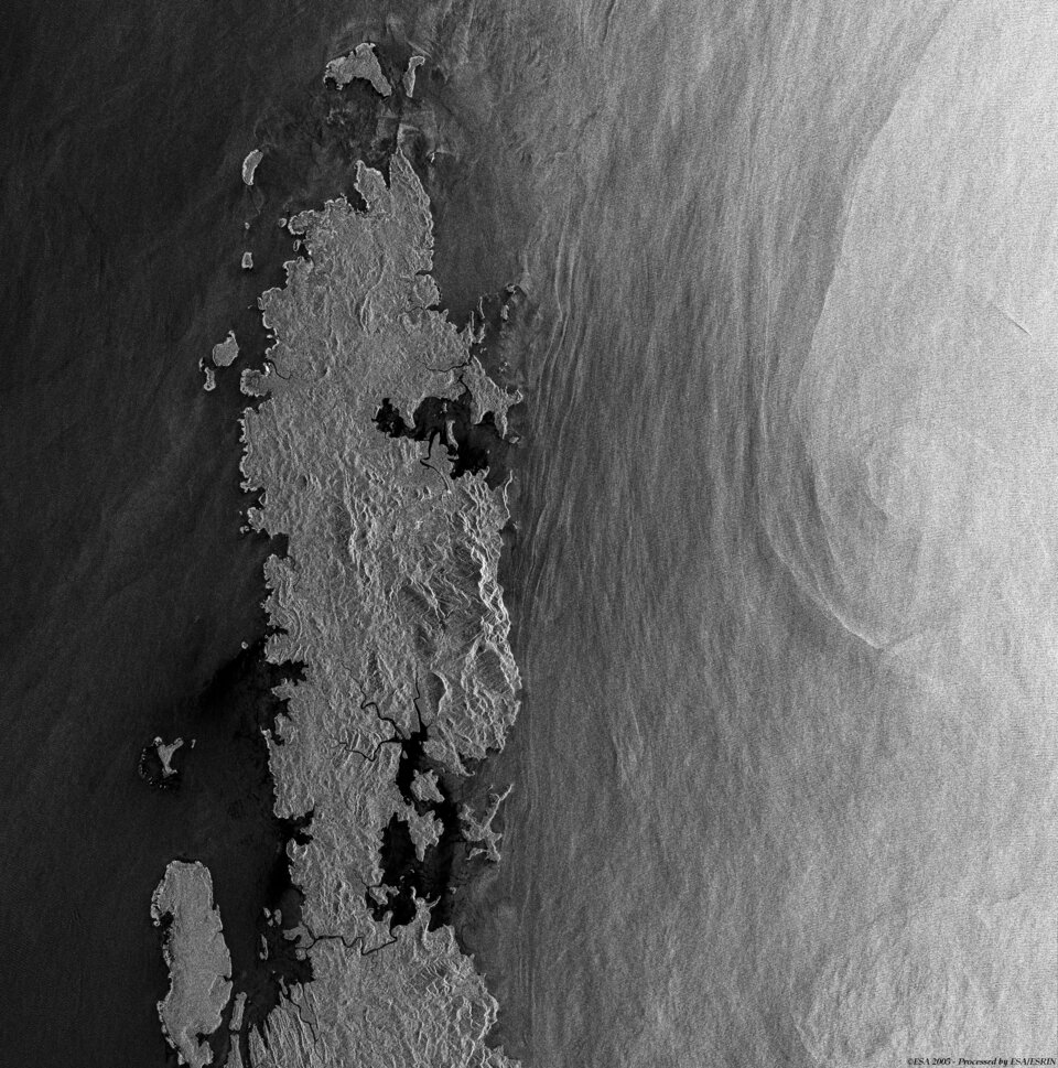
Since the disaster struck, three authorised users of the International Charter on Space and Major Disasters have requested its support from the on-duty operator at ESA/ESRIN. Satellite images of the disaster areas taken before and after the tsunami have been supplied to the UN Office of Outer Space Affairs, the French Civil Protection and the Indian Space Research Organisation.
Current members of the International Charter on Space and Major Disasters include ESA Member States, Argentina, Canada, India, Japan and the USA. Civil protection authorities from other countries can also submit requests by contacting their partner organisations through existing cooperation mechanisms to help them in the major relief efforts that are now underway.


