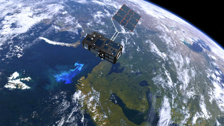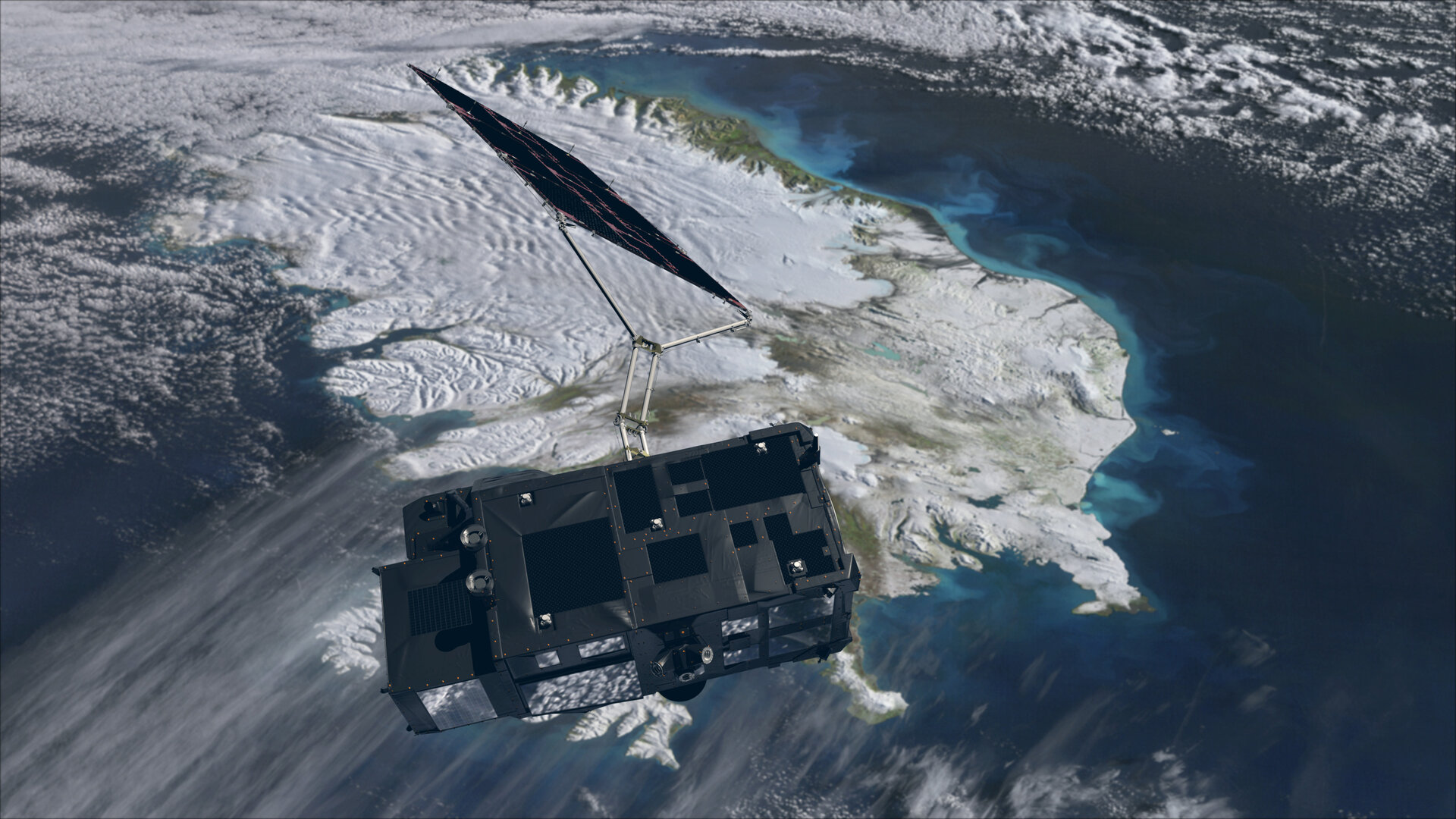
Sentinel-3 over ocean and ice
Carrying a precision radar altimeter, an advanced infrared radiometer, and a wide-swath ocean and land imaging spectrometer, Sentinel-3 supplies a wealth of data related mainly to the marine environment for Europe's Copernicus programme. Delivering critical data on the height and temperature of the sea surface, it supports ocean forecasting for maritime safety. In coastal zones, this is also important for predicting extreme events such as storm surges and floods. Additionally, ocean-colour data provide key information to monitor seawater quality and pollution. Applications using data acquired over land include fire detection and land-cover mapping. Sentinel-3 also provides information to map the topography and extent of ice and to monitor the height of lake and river water.