Agency
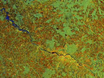
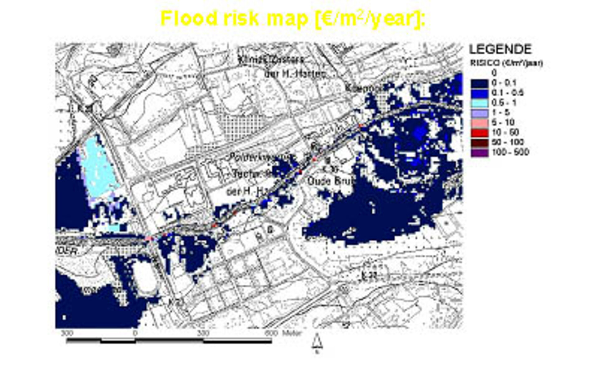
AWZ flood risk map
The Flemish Water Authority AWZ updated their flood risk mapping using high-resolution IKONOS data acquired as part of the FAME project. Here part of the river Dender is shown, the flood risk mapped in Euro divided by square metres divided by year. Risk maps are useful to insurance companies as well as the water authorities and local government.

