Applications
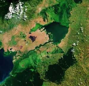
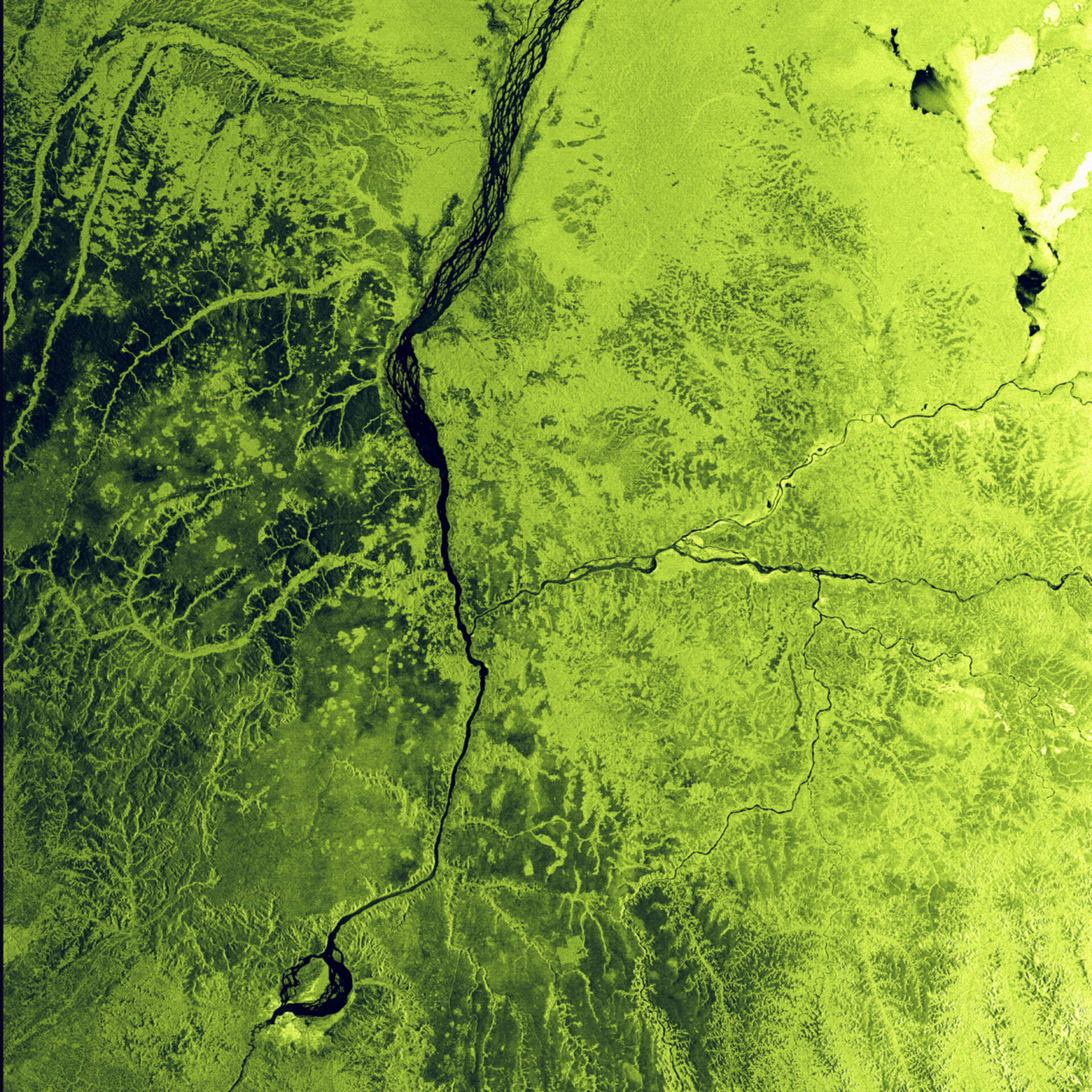
Lake Mai-Ndombe
This artificially coloured ASAR radar image acquired 5 January 2003 shows Lake Mai-Ndombe (which means 'black water') towards top right. The Lake is located in western Congo (Kinshasa), east of the Congo River and south-southeast of Lake Tumba, at an altitude of about 338 m. It covers approximately 890 square miles (2,300 square km) and is about 80 miles (130 km) long and up to 25 miles (40 km) wide. Shallow in depth and irregular in shape, it doubles or triples in size in rainy seasons. This lake forms one of the two main lake systems feeding the Congo River.