Agency
Crew deploying geophones in the Middle East
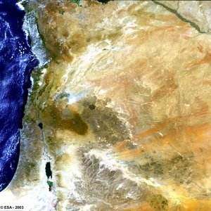
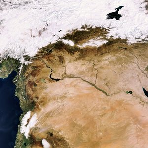
Seismic survey crew deploying geophones in the Middle East. Satellite images are being used to pre-plan the optimum positions of geophones as well as vibrator trucks in order to obtain the best possible information on subsurface characteristics.