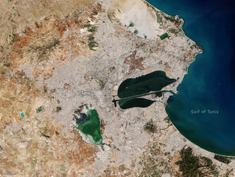
Agency
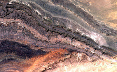
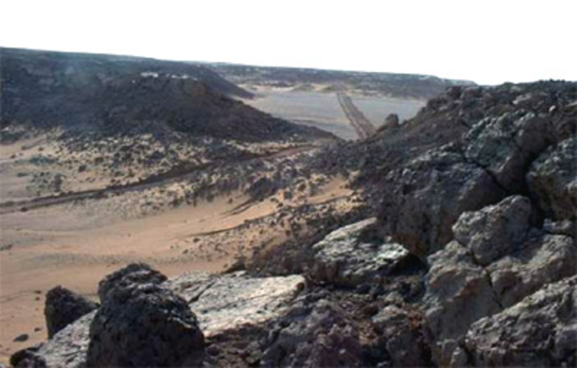
Inaccessible rough terrain in North Africa
Inaccessible rough terrain in North Africa. Seismic surveys have to be carried out in some of the remotest territory on Earth. Satellite imagery can deliver valuable advance information on surface - and also subsurface - conditions.