Agency
Measurement principle
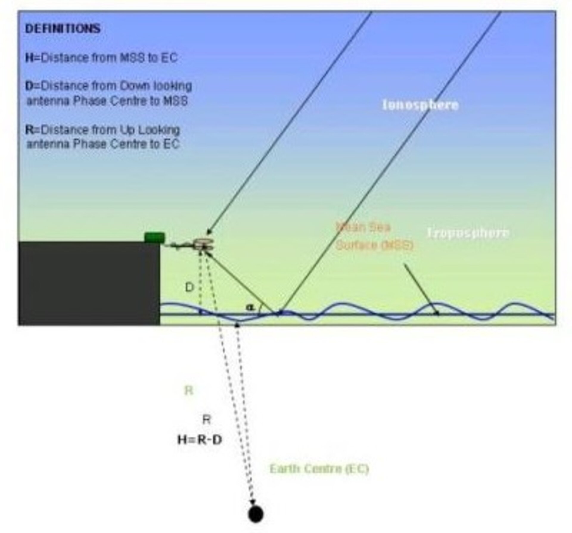
Oceanpal is Star2Earth response to sea and lake surface monitoring. It is a passive system using any available signals from navigation satellites such as GPS, EGNOS and future Galileo to deliver information about surface height and surface state. The above figure illustrates the Oceanpal principle of measuring direct and indirect navigation satellite signals.