Agency
Aerial view
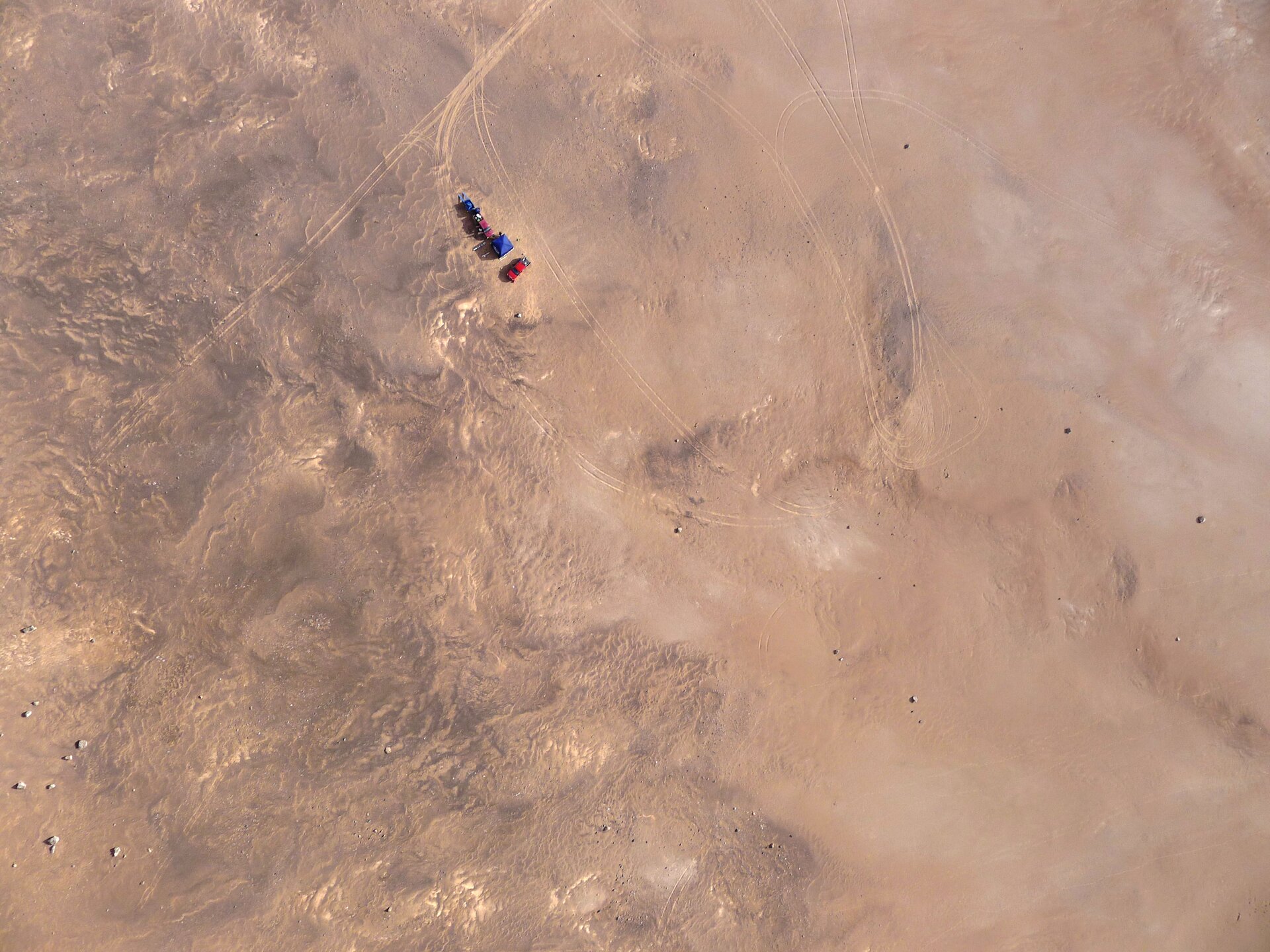
One of the aerial photographs taken from the UAV, showing the base camp. About thousands of similar pictures were collected and 'stitched' together to form an approximately 9 sq km map of the area where the Seeker rover moved.