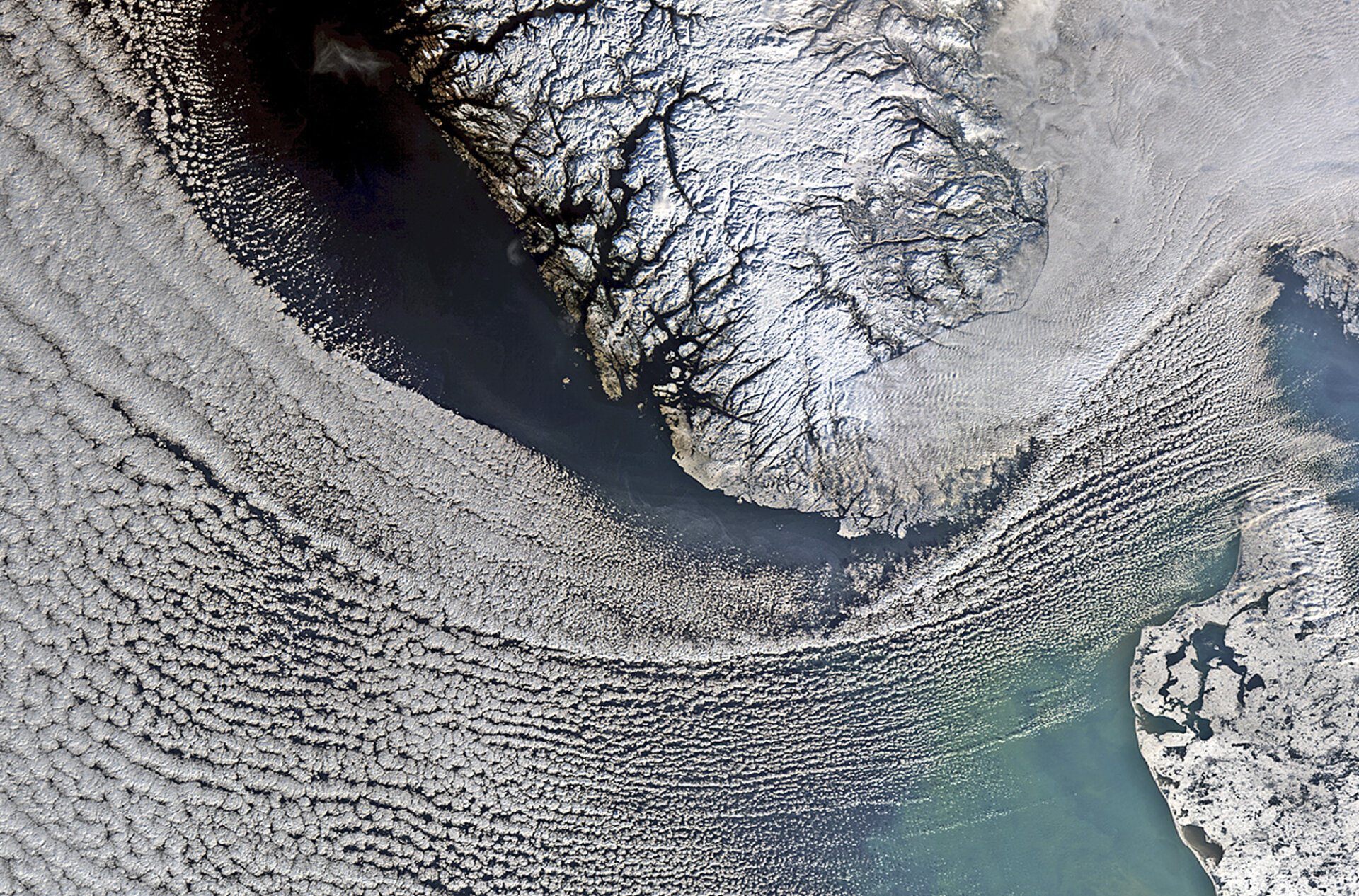
United space in Europe
Scandinavian snows
Applications

Scandinavian snows

01/02/2013 4212 views 18 likes 286292 ID
  • JPG [974.22 kB]
  • TIF [13.42 MB]

Thank you for liking

You have already liked this page, you can only like it once!

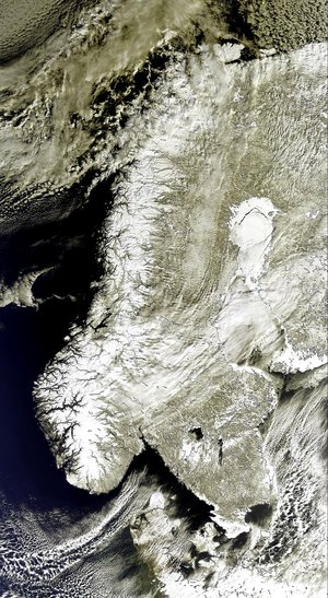
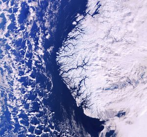
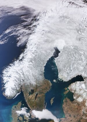
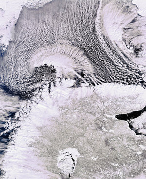
In this image from the Envisat satellite, clouds cover the North Sea and sweep down to the strait between Denmark (lower-right corner) and Norway (upper-centre). In the upper-right corner, a thicker blanket of clouds covers south eastern Norway and spreads into Sweden. Located on the Scandinavian Peninsula, Norway is Europe’s northernmost country and is famed for its fjords. Some of these are visible in the image as dark lines between the white and snow-covered land. Near the top of the image, we can see part of Norway’s longest and deepest fjord, the Sognefjord. In the lower-right corner, we can see part of Denmark’s Jutland peninsula, with small and large bodies of water speckling the flat terrain. 

This image is featured on the Earth from Space video programme.

  • ESA, CC BY-SA 3.0 IGO
  • Observing the Earth
  • Envisat
  • Envisat Satellite MERIS
  • Denmark Norway North Sea Scandinavia
  • Snow Peninsula Fjord
  • Earth observation image of the week
Plankton arrives in Scandinavia
Applications

Plankton arrives in Scandinavia

Image 1570 views 5 likes
Fjords and glaciers
Applications

Fjords and glaciers

Image 2037 views 11 likes
White Scandinavia as seen by Envisat
Applications

White Scandinavia as seen by Envisat

Image 967 views 3 likes
Scandinavian snows
Agency

Uprint Calendar - February 2013

Image 1104 views 5 likes
Scandinavian snows
Agency

Uprint Wallpaper - February 2013

Image 2134 views 2 likes