Science & Exploration
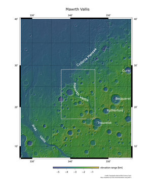
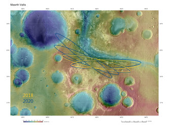
Mawrth Vallis topography
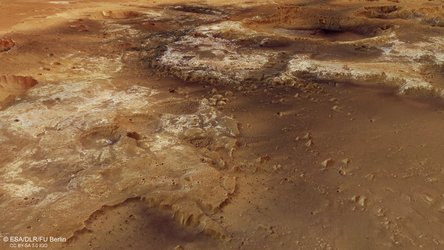
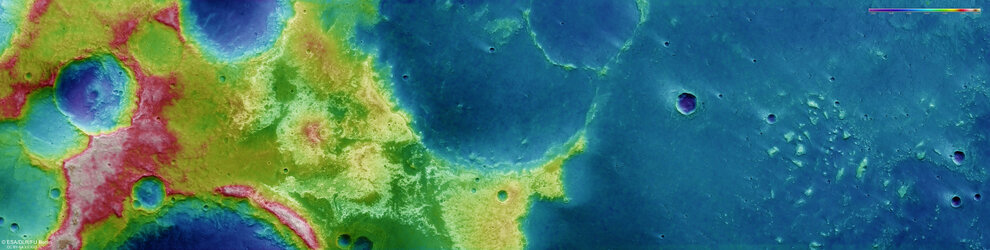
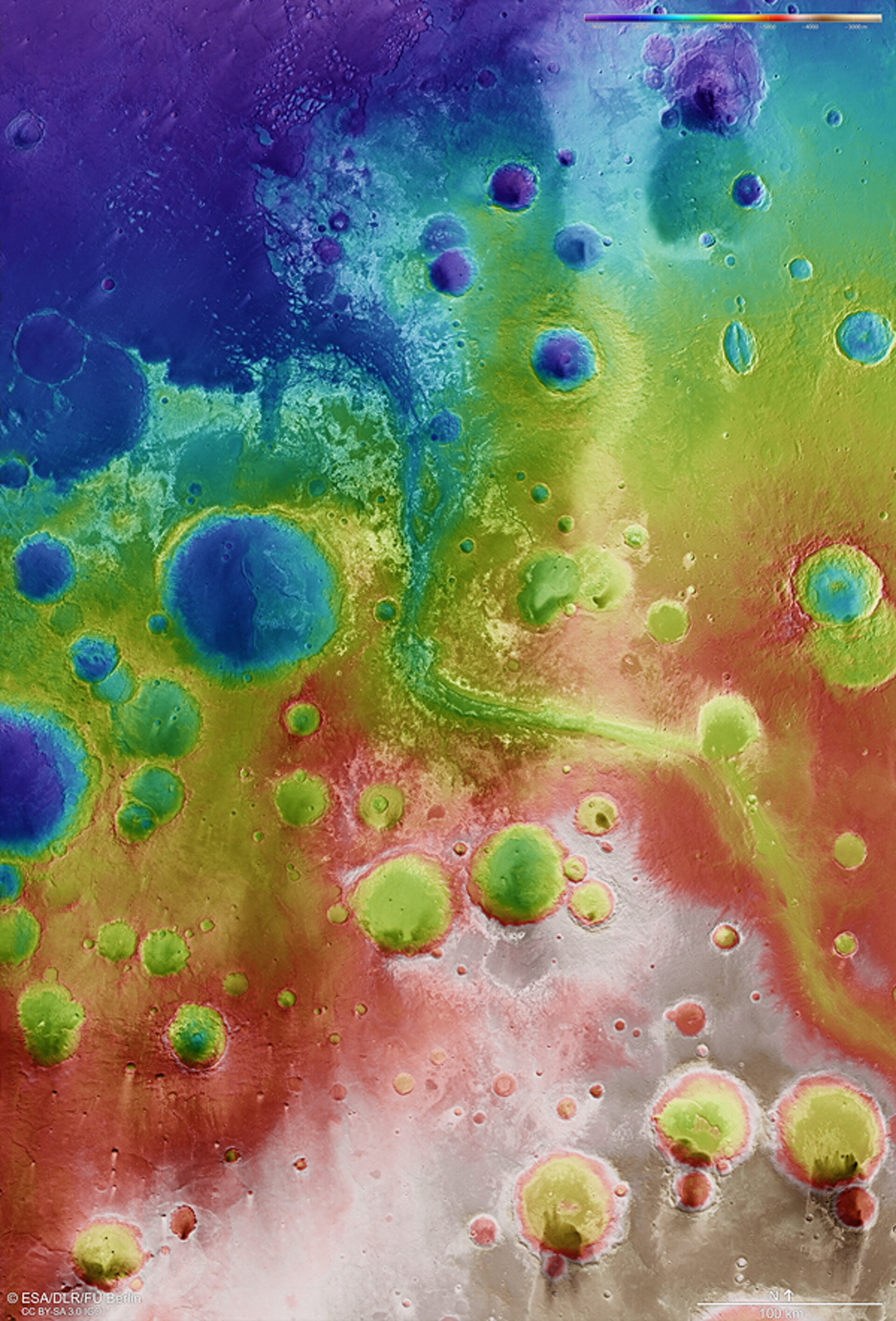
Colour-coded topography map of the Mawrth Vallis region. Whites and reds are highest, while blues and purples indicate lower elevation terrain (see key at top right).
Colour-coded topography map of the Mawrth Vallis region. Whites and reds are highest, while blues and purples indicate lower elevation terrain (see key at top right).