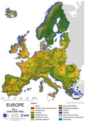
Chiapas forest land-cover map
A detailed land-cover map showing forest in Chiapas state in southern Mexico. The map was produced using Copernicus Sentinel-2 optical data from 14 April 2016. It shows the kind of products that are possible through the new ESA-backed Forestry Thematic Exploitation Platform (F-TEP). Such products can support initiatives such as the UN’s Reduced Emissions from Deforestation and Degradation (REDD+), which is a global agreement that developing countries should receive financial compensations for slowing the rates of deforestation and forest degradation in recognition of the role of forests as carbon sinks.
“F-TEP is a new ‘one-stop shop’ online platform enabling the forestry sector to make easier use of satellite data,” explains Tuomas Häme of VTT Technical Research Centre of Finland, managing the development of the platform for ESA.
“Users are able to map and explore their forests from the comfort of a web-based browser, within which they can rapidly access and process all available data, then disseminate the results.”
As part of a pilot project, the platform is being used to map the extensive Chiapas forest to assess its carbon stocks, with the Ministry of Environment and Natural History of the state government of Chiapas and several Mexican non-governmental organisations. Chiapas is the second most forested state in Mexico, and home to the Lacandon jungle – one of the last major tropical rainforests in the northern hemisphere. Covering 600 000 hectares, it is home to about 60% of Mexico’s tropical tree species, 3500 species of plants and more than 1600 species of animals.
The mapping is performed through an automated process with full 10 m-resolution Sentinel-2 images being run through ‘decision tree’ software to pick out trees. Very high-resolution 1 m-class satellite imagery is used to cross-check the results, combined with cross-checks from the ground.
Achieving a standardised space-based method of assessing forest carbon stocks could be key to implementing the REDD+ scheme.
While comparable forest mapping once took about three years to produce, use of the platform combined with Sentinel-2’s frequent coverage allows new maps to be updated in a matter of weeks.
Learn more about ESA's Forestry Thematic Exploitation Platform.