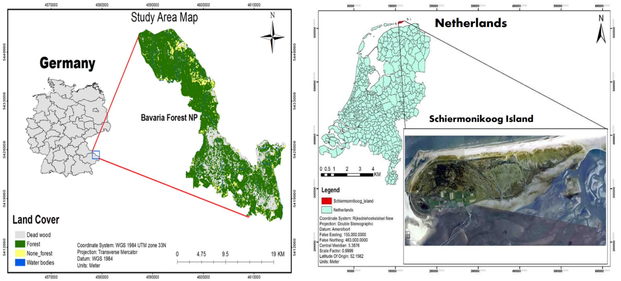
Studying biodiversity in Germany and the Netherlands
An ESA Earth Observation Science for Society project called Remote Sensing for Environmental Biodiversity Variables (RS4EBVs) set out to investigate how satellite imagery could be used to monitor biodiversity. Using data from the Copernicus Sentinel-2 mission, the United Nations World Conservation Monitoring Centre explored and developed the potential of satellite remote sensing for tracking selected 'Essential Biodiversity Variables (EBVs)'. These information products are a step up from primary observations, and a step below high-level policy-relevant indicators.
Monitoring ecosystems by tracking these EBVs was tested in a variety of locations and ecosystem types, including natural grasslands in the UK, salt marshes in the Netherlands and forest in Germany. One thing they evaluated was the functional diversity of the ecosystems, which measures the components that influence how ecosystems operate and function.
The project was a success, and its findings were transferred to the Group on Earth Observations Biodiversity Observation Network to further develop methods of monitoring functional diversity.