Agency
Satnav receiver with sheep
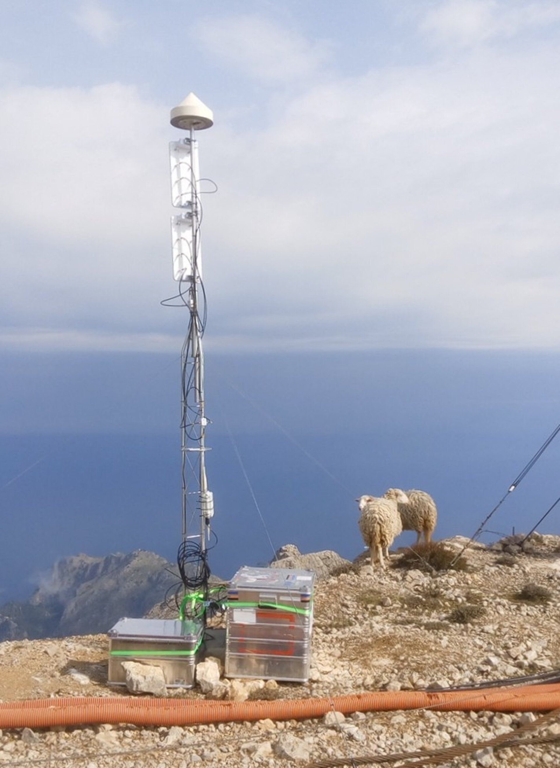
An experimental satellite navigation receiver station high atop Spain’s Mallorca island has opened up a novel view of the ever-changing face of the sea. By picking up satnav signals from the far horizon as they bounce off ocean waves, the receivers are able to measure sea surface height down to a scale of centimetres. A pair of satnav receivers was positioned in a near-horizontal orientation, 1400 m above sea level atop Mallorca’s highest peak, 4 km from the coast, seen here with grazing sheep.