European Satellite Navigation
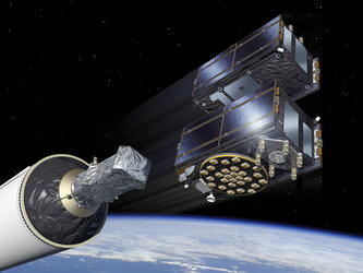
During the last decade, Europe’s Galileo constellation became the world’s most precise satnav system, offering meter-scale accuracy to over four billion users globally. A joint initiative of the European Commission and ESA, there are sufficient Galileo satellites in space to be visible in the local sky from anywhere on Earth, supported by a world-spanning ground segment. A second European satellite system, EGNOS, improves the accuracy and reliability of satnav signals across Europe, benefiting aviation and general users.
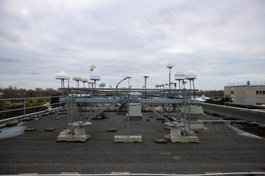
ESA’s NAVISP programme looks beyond Galileo, developing novel positioning, navigation, and timing technologies, to boost European industry competitiveness. The FutureNAV programme responds to the rising demand for more ubiquitous, resilient, and reliable positioning, navigation, and timing (PNT). Initially, FutureNAV will support two missions: a new Low-Earth-Orbit (LEO) navigation satellites for enhanced coverage, and GENESIS, integrating four Earth-measuring methods on one platform for the first time.