Arctic Weather Satellite’s first images capture Storm Boris
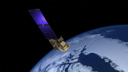
Just a month after its launch, ESA’s Arctic Weather Satellite has already delivered its first images, notably capturing Storm Boris, which has been wreaking havoc across central Europe. Although the satellite is still in its commissioning phase, engineers adjusted their testing schedule to evaluate how well the satellite could measure the effects of Storm Boris.
The animation shows measurements from 14 September 2024 in terms of 'brightness temperature,' with lower values (depicted in blue) indicating higher humidity levels. The animation presents these values at 1 km intervals, ranging from 1 km to 7 km above Earth's surface. The torrential rainfall from Storm Boris is especially evident as dark blue regions low in the atmosphere over Hungary, Slovakia, and Poland.
This animation uses data captured on a single day, but with thousands of people evacuated and lives lost, the impact of this massive storm now extends from Poland in the north to Italy in the south, and Romania to the east.
Read full story: Arctic Weather Satellite’s first images capture Storm Boris