Comparison between aerosols measured by EarthCARE and from an aircraft
Launched just six months ago and still in its commissioning phase, ESA’s EarthCARE satellite is already producing remarkable data from its four instruments, offering groundbreaking insights into clouds, aerosols, and Earth’s energy balance. Highlighting the importance to Earth system science and climate research, teams worldwide are out in force taking measurements to verify and enhance the accuracy of EarthCARE’s data.
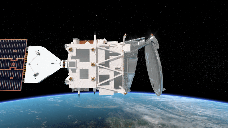
The image shows an example of data from EarthCARE’s atmospheric lidar compared to preliminary data taken by the WALES lidar on the German HALO aircraft during the PERCUSION campaign. Note that the horizontal scale is quite different due to the huge difference in speed between the aircraft and the satellite. The height of the aircraft is indicated in the EarthCARE image as a dashed line, and the image shows that cloud features and aerosol patterns compare well.
Read full story: Taking to the skies for EarthCARE