Care
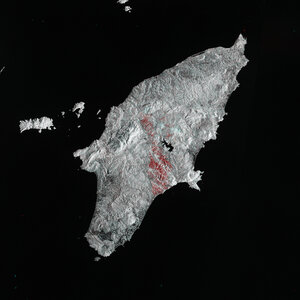
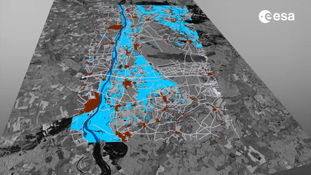
Sentinel satellites provide data to both the Copernicus Emergency Rapid Mapping Service and the International Charter ‘Space and Major Disasters’ to support rapid responses to disasters all over the world.
Caring depends on awareness. On this basis, Copernicus has grown into the world’s largest Earth observation endeavour, providing accurate, timely and easily accessible information to improve the management of the environment, to understand and mitigate the effects of climate change and to ensure civil security. In 2024 alone, the Copernicus Emergency Management Service performed Rapid Mapping activations some 69 times across the globe.
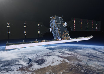
Copernicus is headed by the European Commission on behalf of the EU, and co-funded with ESA. ESA coordinates data delivery to Copernicus from upwards of 30 satellites, including the fleet of Sentinel satellites developed specifically to fulfil the needs of the programmes. The Sentinels undertake a wide range of observations from radar and optimal imaging to atmospheric sounding and altimetry. Copernicus as a whole generates more than 25 terabytes of data per day, all freely available to users around the globe. In particular, the programme is fast becoming a crucial tool for sustainable development for Africa and the rest of the developing world.