Observe
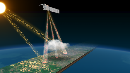
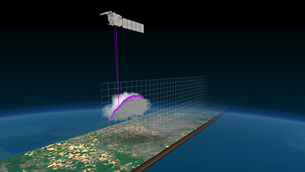
The third Copernicus Sentinel-2 satellite was launched in September 2024. This mission produces spectacular high-resolution images of Earth’s land, islands, inland and coastal waters from its orbital altitude of 786 km.
A single satellite image has the potential to show the spread of air pollution across a continent, the damage done in a region struck by an earthquake or forest fires, or the entire span of a 500-km hurricane from the calm of its eye to its outermost storm fronts.
Images of our planet from orbit are acquired continuously; they have become powerful scientific tools to enable better understanding and improved management of the Earth and its environment. Copernicus is the Earth observation component of the European Union’s Space programme. It provides accurate, timely and easily accessible information to improve the management of the environment, understand and mitigate the effects of climate change and ensure civil security.