Applications
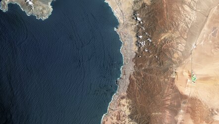
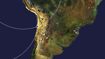
Sentinel-1C interferogram, Antofagasta, Chile
Only launched two months ago and still in the process of being commissioned for service, the Copernicus Sentinel-1C satellite has, remarkably, shown how its radar data can be used to map the shape of Earth’s land surface with extreme precision. These first cross-satellite ‘interferometry’ results assure its ability to monitor subsidence, uplift, glacier flow, and disasters such as landslides and earthquakes.
This interferogram of the Antofagasta area, in northern Chile, combines Sentinel-1C data only. It combines acquisitions from 20 January and 1 February 2025, which is representative of the satellite’s 12-day repeat orbit interval.
Read full story: Sentinel-1C demonstrates its power to map land deformation