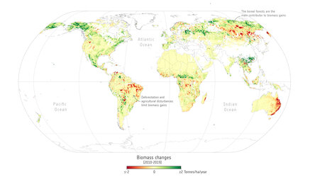
Global map of vegetation optical depth, 2018
This map shows the density of vegetation above ground in forests, tundras and grasslands around the world, as seen by ESA’s Soil Moisture and Ocean Salinity (SMOS) mission with its L-band radar remote-sensing instrument. The legend is without units, as it’s a measure of the extent to which radio waves can pass through the vegetation, with ‘0’ (purple) showing the lightest vegetation and ‘1.5’ (dark green) showing dense vegetation.
The data is from a paper published in Earth System Science Data earlier this year, which analyses a method of estimating biomass in forests over a long-term period, using data from SMOS. This dataset on the water content in vegetation is a good proxy for how much carbon is contained in forests, with a dataset spanning 15 years from 2011 to 2025. The study refines what we know about this approach.
Read full story: SMOS adds long-term view on carbon stored in forests