Applications
IRIDE supports air quality monitoring
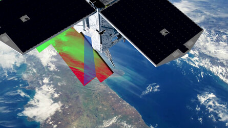
IRIDE offers a wide range of geospatial services to institutional users, including regional and local authorities. Among the core services, IRIDE provides three-dimensional pollutant mapping from predictive models and air quality forecasting via federated models and satellite data, as well as geospatial products to support efforts to monitor air pollution.