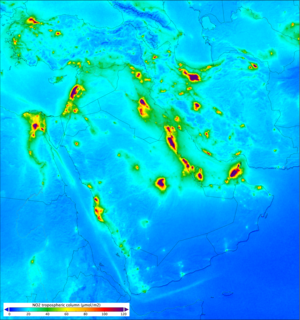
Nitrogen dioxide over the Middle East measured by Sentinel-5A
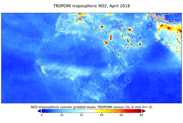
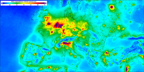
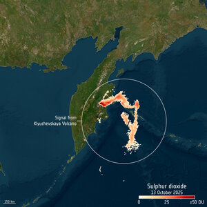
Launched a little over three months ago, Copernicus Sentinel-5A has returned its first images – including a global map of ozone, maps of nitrogen dioxide over the Middle East and South Africa, formaldehyde over parts of Africa, and emissions of sulphur dioxide from an active volcano in Russia – showcasing the mission’s powerful capability to monitor atmospheric gases worldwide.
This image shows the vertical column density of nitrogen dioxide on 13 October 2025 over the Middle East, where higher concentrations can be seen around major cities and over industrial oil and gas refineries, power stations and smelters. Elevated concentrations are also evident over the densely-populated Nile Valley in Egypt.
Nitrogen dioxide is a major air pollutant produced primarily by human activities such as traffic, power generation, industrial processes, cooking and heating.
Because clouds can obstruct the satellite’s view of near-surface nitrogen oxide, some areas appear less clearly defined. The data are preliminary, so biases in partially cloudy regions will be reduced as processing algorithms are refined.
Read full story: Sentinel-5 debuts images of atmospheric gases