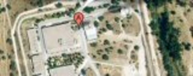
Getting to ESAC
GPS Coordinates
Degrees, minutes and seconds
N 40 26' 37.7"
W 3 57' 10.6"
Decimal degrees
40.4438
-3.9529
To reach ESAC from Madrid Airport
Approximate Time: 40 min in non-peak hours
Distance: 50 km
Madrid Barajas Airport is located 20 km east of the city and is linked to Madrid by the M-11 and N-II highways. The best option to reach ESAC from Madrid Airport is by car, a trip of 50 km , taking 40 to 50 minutes in non-peak hours.
- Barajas Terminal T1-T3:
- Exit Madrid-Barajas Airport and follow signs to the M14 & M-11 highways.
- Take M-11 highway towards M-40 Norte, A-1 (Burgos), A-6 (A Coruña), M-607.
- Barajas Terminal T4:
- Exit Madrid-Barajas Airport and follow signs to the M12 & M-40 highways.
- Take M-12 highway towards M-11, M-40.
Leave M-12 at junction with M-11 and take M-11 towards M-40, A-1 (Burgos), A-6 (A Coruña).
Note: Information on the exit from Madrid-Barajas airport at the following link:Map- Continue on the M-11 for 7km following the signs A-1 (Burgos), A-6 (A Coruña), A-5 (Badajoz).
- Exit the M-11 highway at Junction 3 onto the M-40 towards A-1 (Burgos), A-6 (A Coruña), A-5 (Badajoz), Pozuelo & Boadilla.
- Continue on the M-40 highway for approximately 23 km.
- Leave M-40 highway at junction 41 onto M-503 towards Majadahonda/Pozuelo.
- Continue on the M-503 following A Coruña A-6 signs.
- Leave at Junction 9 towards Villanueva de la Cañada (although you have left the highway you are still on the M-503).
- Go straight ahead towards Villanueva de la Cañada at the 1st and the 2nd roundabout.
- After 4 Km exit at Junction 18 towards ESA direction.
- Finally, at the roundabout take ESA exit.
To reach ESAC from Madrid City Centre
Approximate Time: 30 min in non-peak hours
Distance: 30 km
- Exiting Madrid from Moncloa (Arco de la Victoria), follow the signs to the A-6 highway in the direction of A Coruña
- Once in the A-6, keep on following the signs of Villalba-A Coruña
- Leave the A-6 highway at junction 11 onto the M-40 highway towards Badajoz (A-5), N-IV, N-V.
- Continue on the M-40 for approximately 4 km.
- Leave M-40 highway at junction 41 onto M-503 towards Majadahonda/Pozuelo.
- Continue on the M-503 following A Coruña A-6 signs.
- Leave at Junction 11 towards Villanueva de la Cañada (although you have left the highway you are still on the M-503).
- Go straight ahead towards Villanueva de la Cañada at the 1st and the 2nd roundabout.
- After 4 Km exit at Junction 18 towards ESA direction.
- Finally, at the roundabout take ESA exit.
To reach ESAC by bus from Madrid City Centre
Approximate Time: 45 min in non-peak hours
Distance: 30 km
Bus number L623. Please find the information in the following link:
To reach Cebreros from ESAC
Approximate Time: 01 h 15 min
Distance: 65 km
Depart ESAC facilities and drive on the private road until you reach the roundabout, turn left onto: Villanueva de la Cañada / M-503
continue along M-503
turn right onto: M-853 for 3.5 kmAt Mirador del Romero
continue along M-853 for 1 km
continue along M-600 for 3 km
At the roundabout, take the 2nd exit M-510
continue along M-510 for 1.6 kmClose to: Valdemorillo
turn left onto: M-510 for 7.5 kmAt Navalagamella
turn right onto: Calle de la Amargura / M-521 for 200 m
turn right onto: M-521 for 13 km-
At Robledo de Chavela
turn left onto: Paseo de la Antigua / M-512 for 400 m
continue along M-512 for 4 km
turn right onto: M-539 for 6 km
continue along AV-562 for 4 km
turn left onto: ESA Satellite Tracking Station