Agency
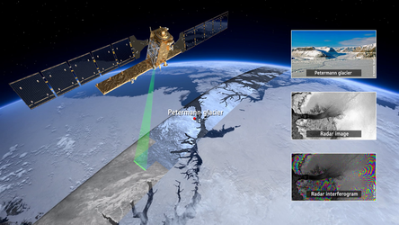
Combining radar satellite views of the same site
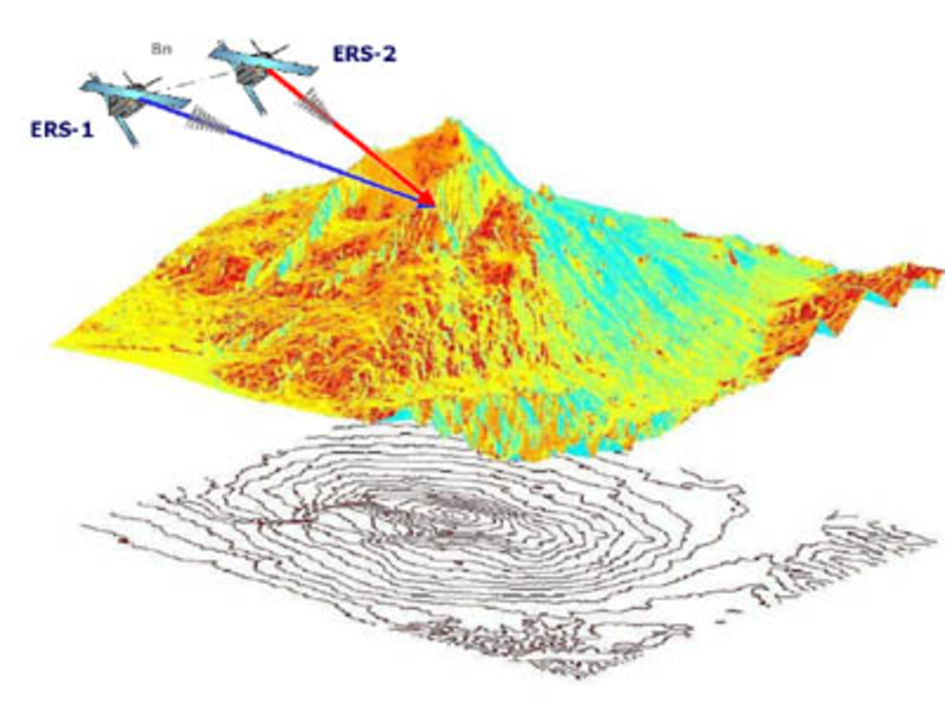
Multiple radar satellite images of the same site can be combined to access an additional dimension of information about it, a technique called Synthetic Aperture Radar Interferometry (InSAR). Topography information acquired through InSAR can create Digital Elevation Models (DEMs) and also serve as a means of charting very slight surface deformation occurring between acquisitions.
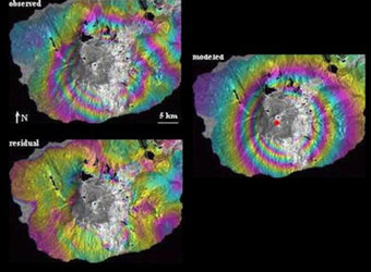
This diagram shows how a pair of images from twin ERS satellites were used to create a DEM of the Etna volcano in Sicily, Italy. Pairs of images acquired from the same spacecraft during different orbits can also be used for InSAR.