Sentinel-2
Colour vision for Copernicus

The mission
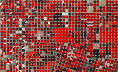
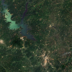
The Copernicus Sentinel-2 mission is based on a constellation of two identical satellites in the same orbit. Each satellite carries an innovative wide swath high-resolution multispectral imager with 13 spectral bands for a new perspective of our land and vegetation.
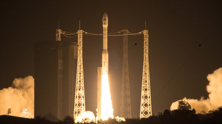
The launch
Date: Sentinel-2A - 23 June 2015
Sentinel-2B - 7 March 2017
Sentinel-2C - 5 September 2024
Site: Kourou, French Guiana
Launcher: Vega rocket

Latest


-
Applications Sentinel-2 images


-
Applications Sentinel-2 videos

-
Applications Sentinel-2 downloads

-
StoryApplications
Sentinel-2 documents and publications