-
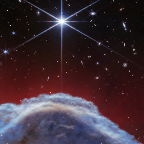
ImageScience & Exploration
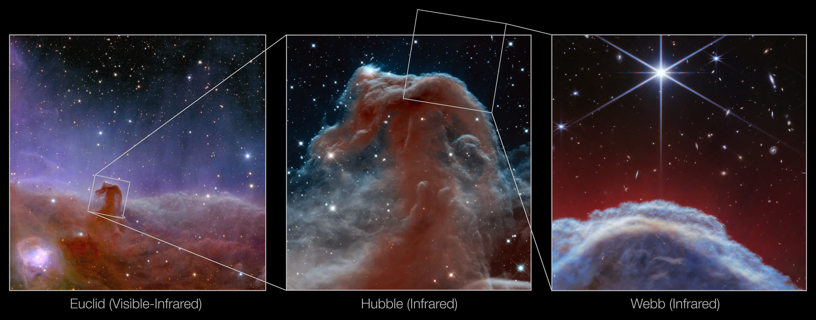
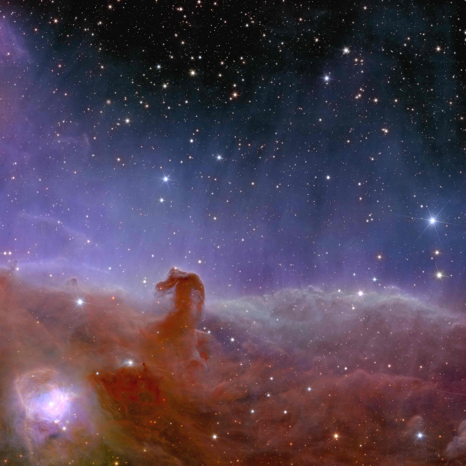
Webb captures iconic Horsehead Nebula in unprecedented detail

-
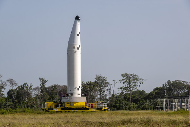
StoryEnabling & Support
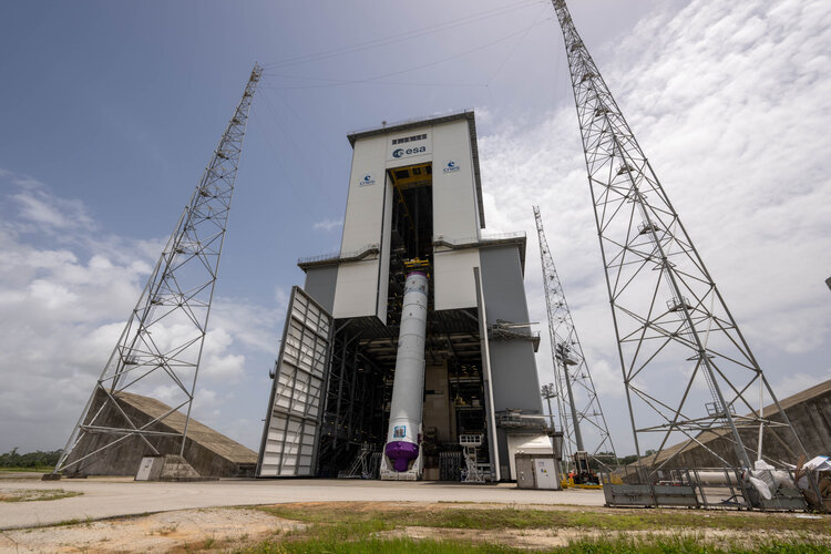
Start of the first Ariane 6 launch campaign

-
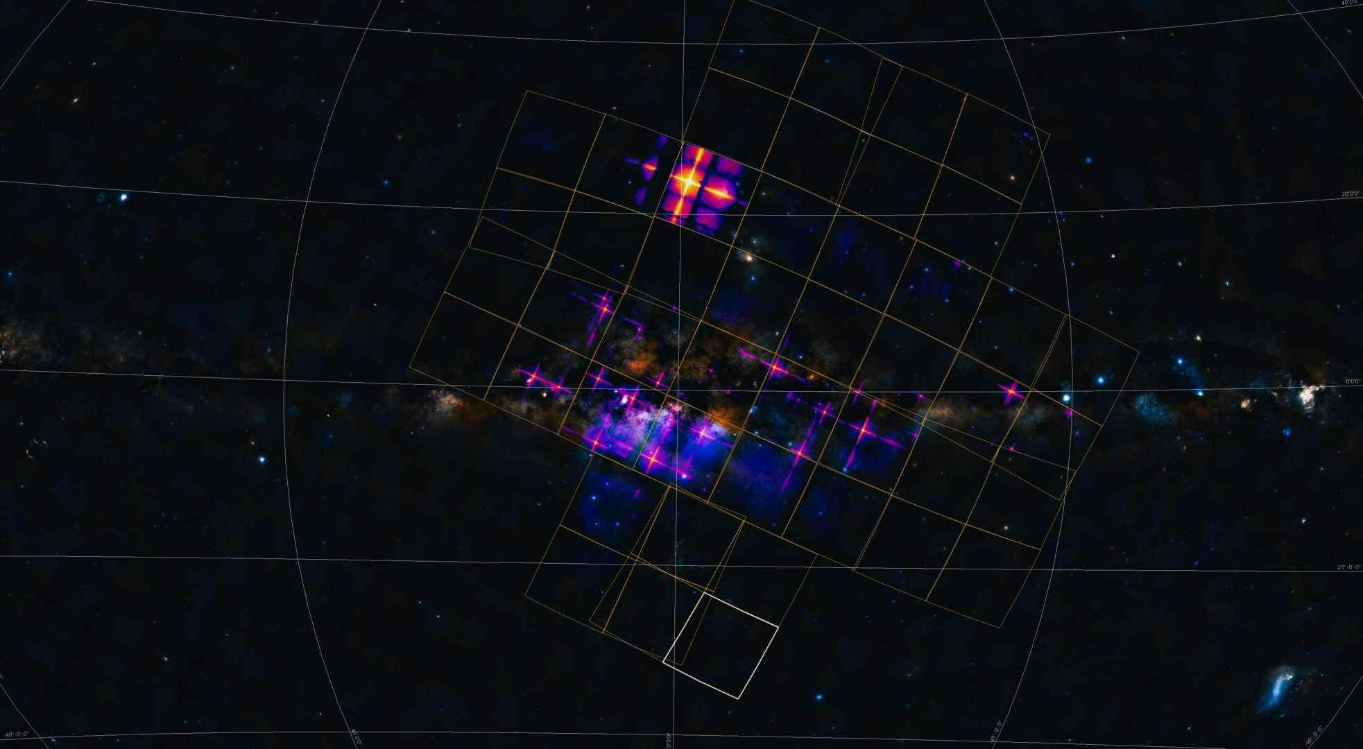
StoryScience & Exploration
Einstein Probe opens its wide eyes to the X-ray sky
-
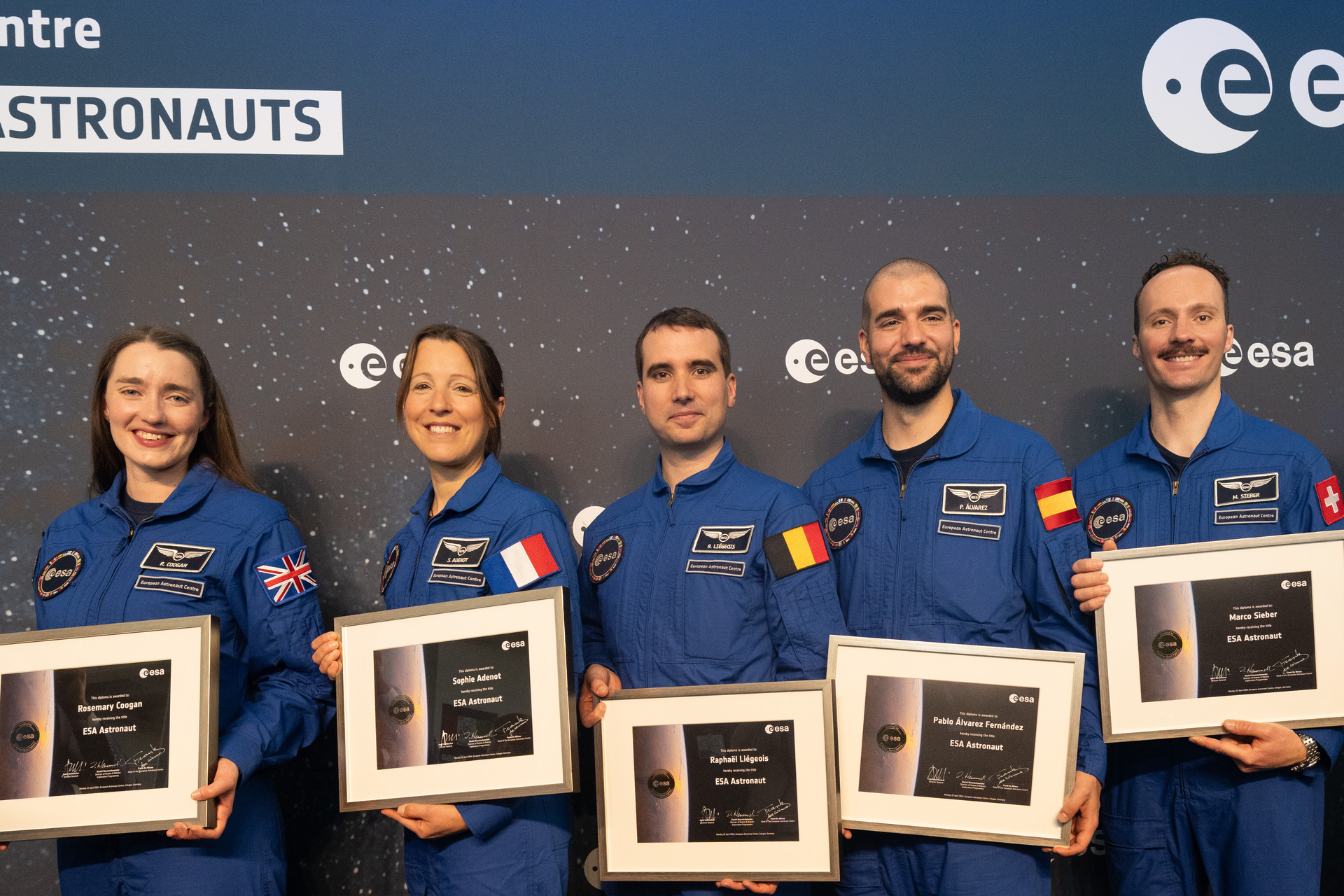
Agency Week in images: 22-26 April 2024
-
StoryApplications
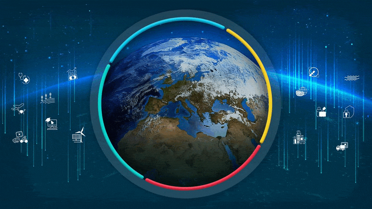
Six mind-blowing facts about Galileo
-
StoryAgency
Discover ESA Live: a gateway to ESA’s universe for schools

ESA Programmes
ESA and You
In the spotlight

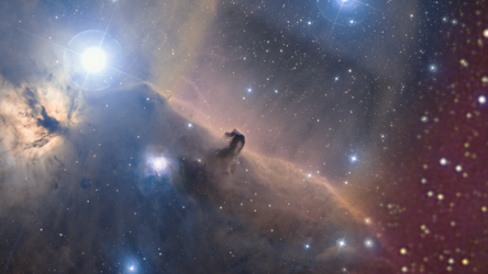
Image
Science & Exploration
Euclid’s view of the Horsehead Nebula
Recommended


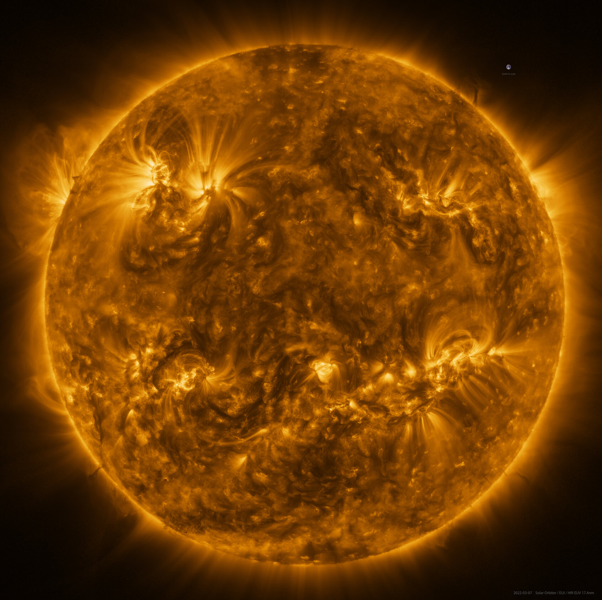
Image
Science & Exploration
The Sun in high resolution