Enter the Dragon: ESA and China's joint Earth watch begins
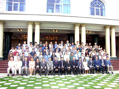
More than a hundred leading European and Chinese scientists meet today on the island city of Xiamen to commence the Dragon Programme - a wide-ranging research initiative employing ESA Earth Observation data to focus on China.
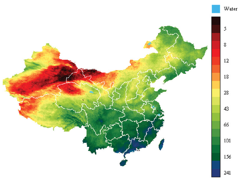
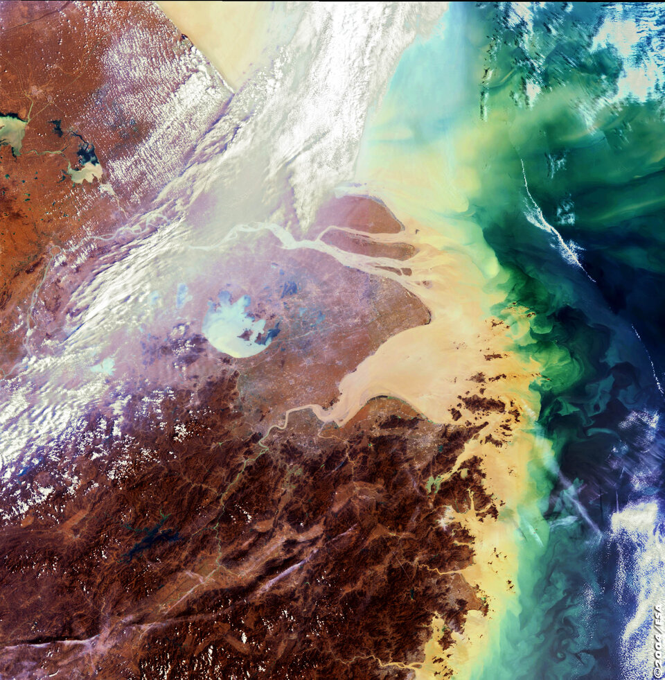
The sheer size and variety of this vast land means that satellites are particularly useful for its study. The 9.6 million square kilometres of Chinese territory range from Himalayan peaks to tropical lowlands. China is home to one in every five humans now alive, and is by some measurements the world's second largest - and single fastest-growing - economy.
The Dragon Programme is a joint undertaking between ESA, the Ministry of Science and Technology (MOST) of China and the National Remote Sensing Centre of China (NRSCC). Its purpose is to encourage increased exploitation of ESA space resources within China as well as stimulate increased scientific co-operation in the field of Earth Observation science and technology between China and Europe.
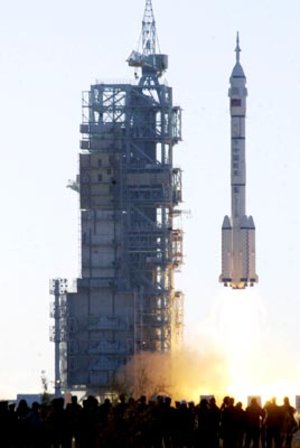
The Dragon Programme was initiated following a September 2003 meeting in Paris between Mr Jean-Jacques Dordain, Director of ESA and Prof. Xu Guanhua, Minister of Science and Technology for the People's Republic of China.
Today is the start of a three-day symposium in Xiamen formally kicking-off the initiative. Participating Sino-European research teams are being joined by ESA Director for Earth Observation Programmes Professor Jose Achache and Mr. Zhang Guocheng, Deputy Director-General of NRSCC.

"Remote sensing technology has a wide amount of potential applications, including the evaluation and monitoring of resources and responding to natural disasters," says Guocheng. "ESA occupies an advantageous position in this field and the Dragon Programme promises to open up new fields for MOST-ESA cooperation, as well as aiding the development of applied remote sensing within China."
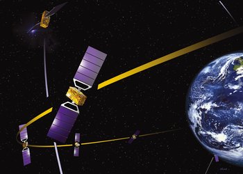
During the three-year lifetime of the Dragon Programme, data from Envisat as well as other ESA spacecraft will be employed in collaborations between European and Chinese research teams. These fall within thematic areas agreed by ESA and China covering subjects such as rice monitoring and forest mapping, water resources assessment and flood forecasting, air quality measurements and the spread of deserts.
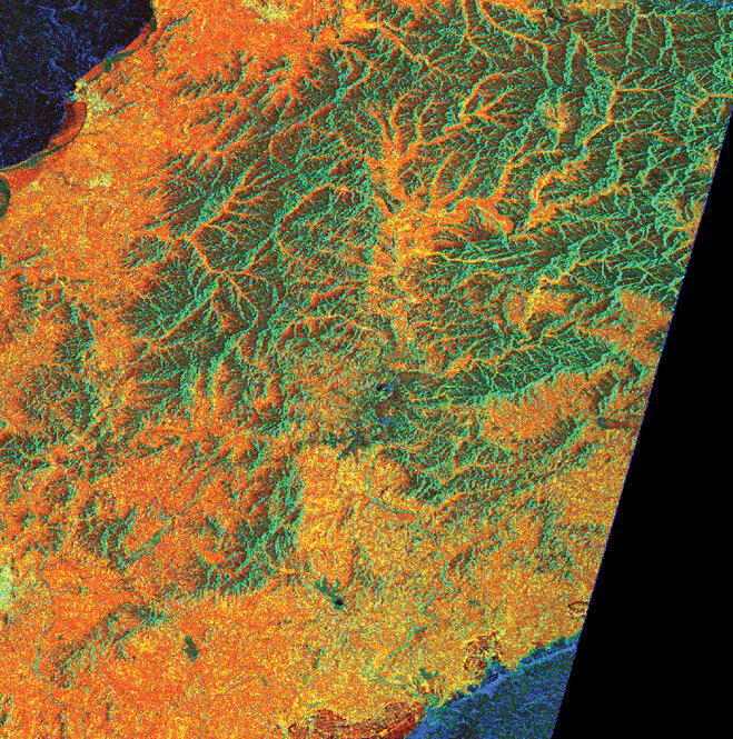
Professor Fabio Rocca of Italy's Milan Politecnico is co-Principal Investigator with Prof. Deren Li of Wuhan University on a project to precisely measure ground topography and motion using ESA radar data. Synthetic Aperture Radar (SAR) Interferometry – or InSAR for short – involves combining two or more radar images of the same spot in such a way that very precise measurements can be made of ground motion taking place between acquisitions.
"Subsidence is a problem in many areas within China," says Rocca. "European technologies allow its measurement to the level of millimetres with very low costs, making it an interesting subject for further joint development.
"Working jointly enables us to combine the effectiveness of remote sensing with in-depth analysis of ground conditions to create protocols for interpretation and prompt reaction to new data. We would like to develop tools for immediate use by civil protection agencies."
"The Dragon Programme as a whole is valuable because it makes possible closer contacts with China, a giant country with thousands of expert scientists, a well developed space programme and where remote sensing is an important factor for faster and safer development."
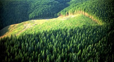
Already initiated is a trainee exchange scheme, with two students from the Chinese Academy of Forestry in Beijing studying radar-based forest mapping techniques at ESA's European Space Research Institute (ESRIN) in Frascati, Italy.
Forests cover one seventh of China's land. Radar data such as that provided by Envisat's Advanced Synthetic Aperture Radar (ASAR) instrument can enable more accurate woodland monitoring using InSAR.
When multiple images are combined in this way, forested areas become de-coherent in distinctive signature ways enabling interpreters to classify their canopy height, denseness and even their species.
Similar radar-based techniques will be used for agricultural and rice monitoring. Radar instruments are especially well suited to the latter task because fields have to be flooded during rice's transplantation and growing stages, and radar can distinguish waterlogged ground very well. And radar can see through the clouds that obscure the view of optical satellites above rice-growing areas.

Associate Prof. Tan Bingxiang of the Chinese Academy of Forestry in Beijing, is working as co- Principal Investigator of the rice-monitoring project with Dr. Thuy Le Toan of Université Paul Sabatier in Toulouse.
"The probability of acquiring cloud-free optical remote sensing data is only 1% during the crop growing season in Southern China," comments Bingxiang. "This makes it very difficult to carry out real-time monitoring of crop growth and estimate rice yield.
"Hence radar remote sensing is the obvious choice as the most appropriate data source for agricultural monitoring and crops yield estimating."
Rice yield prediction models will be tested using inputs from ASAR and also multi-spectral optical data from Envisat's Medium Resolution Imaging Spectrometer (MERIS).
Envisat's Scanning Imaging Absorption Spectrometer for Atmospheric Cartography (SCIAMACHY) will also study seasonal variations of methane emissions from flooded rice fields – useful data for improving the accuracy of climate change models.
China's agriculture is heavily dependent on the Southeast Asian Monsoon that brings vital rains to the countryside each summer.
Prof. Johnny Johannessen of Norway's Nansen Environmental and Remote Sensing Centre and Prof. Hui-Jun Wang of the Institute of Atmospheric Physics of the Chinese Academy of Sciences are co-Principal Investigators of a project to study the monsoon and ocean waters it arises from as an interlinked system.
The aim of the project is to improve the ability to monitor and simulate the coupled processes that give rise to China's summer monsoon.