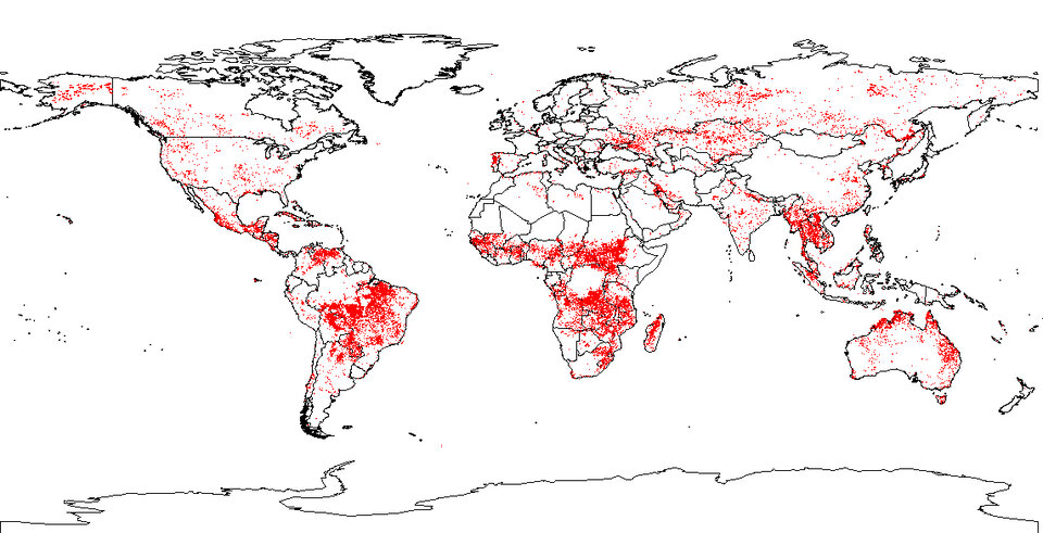
Los mapas mundiales de incendios ya están disponibles en línea casi en tiempo real
Desde hace una década los satélites de la ESA informan constantemente sobre los incendios que se producen en toda la superficie de la Tierra. Los mapas mundiales de incendios, basados en dichos datos, ya están disponibles para los usuarios en línea casi en tiempo real, mediante el ATSR World Fire Atlas de la ESA.
El WFA (ATSR World Fire Atlas), el primer atlas mundial de incendios multianual jamás creado, suministra los datos unas seis horas después de la captación y representa un recurso científico de gran importancia, ya que el fuego es uno de los principales agentes del cambio medioambiental.
“El atlas es un recurso excelente que nos ofrece una perspectiva del planeta antes imposible de obtener, y que sin duda permitirá a los ecologistas resolver interrogantes nuevos y antiguos acerca del papel que desempeña el fuego en la estructuración de la naturaleza”, indicó Matt Fitzpatrick, del departamento de Ecología y Biología Evolutiva de la Universidad de Tennessee.
Anualmente se queman más de 50 millones de hectáreas de bosques, y esos incendios ejercen un impacto importante en la contaminación atmosférica mundial. La biomasa quemada contribuye a la generación de gases de efecto invernadero, como el anhídrido carbónico, en todo el planeta. En el decenio pasado los investigadores comprendieron la importancia de registrar los datos de dicho ciclo. De hecho, actualmente los datos del WFA se consultan de manera mayoritaria para estudios atmosféricos.
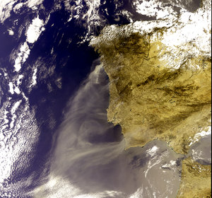
La cuantificación del fuego es importante para el estudio constante del cambio climático. Por ejemplo, en 1998 el fenómeno de El Niño contribuyó a la aparición de incendios a través de Borneo que emitieron hasta 2.500 millones de toneladas de carbono a la atmósfera, una suma equivalente a todas las emisiones de carbono en Europa de aquel año.
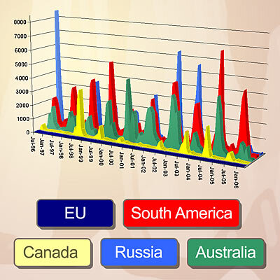
Hay más de 200 usuarios registrados que acceden al WFA. Los datos se utilizan en Europa, Asia, Norteamérica, Suramérica, África y Australia para investigar la química atmosférica, los cambios en el uso del suelo, la ecología del cambio global, la prevención y el control de incendios y la meteorología.
La Universidad de Harvard, la Universidad de Toronto, el Centro Nacional para la Atmósfera y la NASA, entre otras instituciones, han utilizado dichos datos para sus publicaciones sobre investigación. Hasta la fecha hay más de 100 publicaciones científicas basadas en los datos del WFA.
Además de los mapas, se suministran datos de hora, fecha, longitud y latitud de los puntos donde se registran incendios. La base de datos abarca desde 1995 hasta el momento actual, aunque la cobertura anual total se inició en 1997.
Los datos del WFA se basan en los resultados obtenidos por el dispositivo ATSR (Along Track Scanning Radiometer) instalado a bordo del satélite ERS-2 de la ESA, lanzado en 1995, y el AATSR (Advanced Along Track Scanning Radiometer) del satélite Envisat de la ESA, que se puso en órbita en 2002.
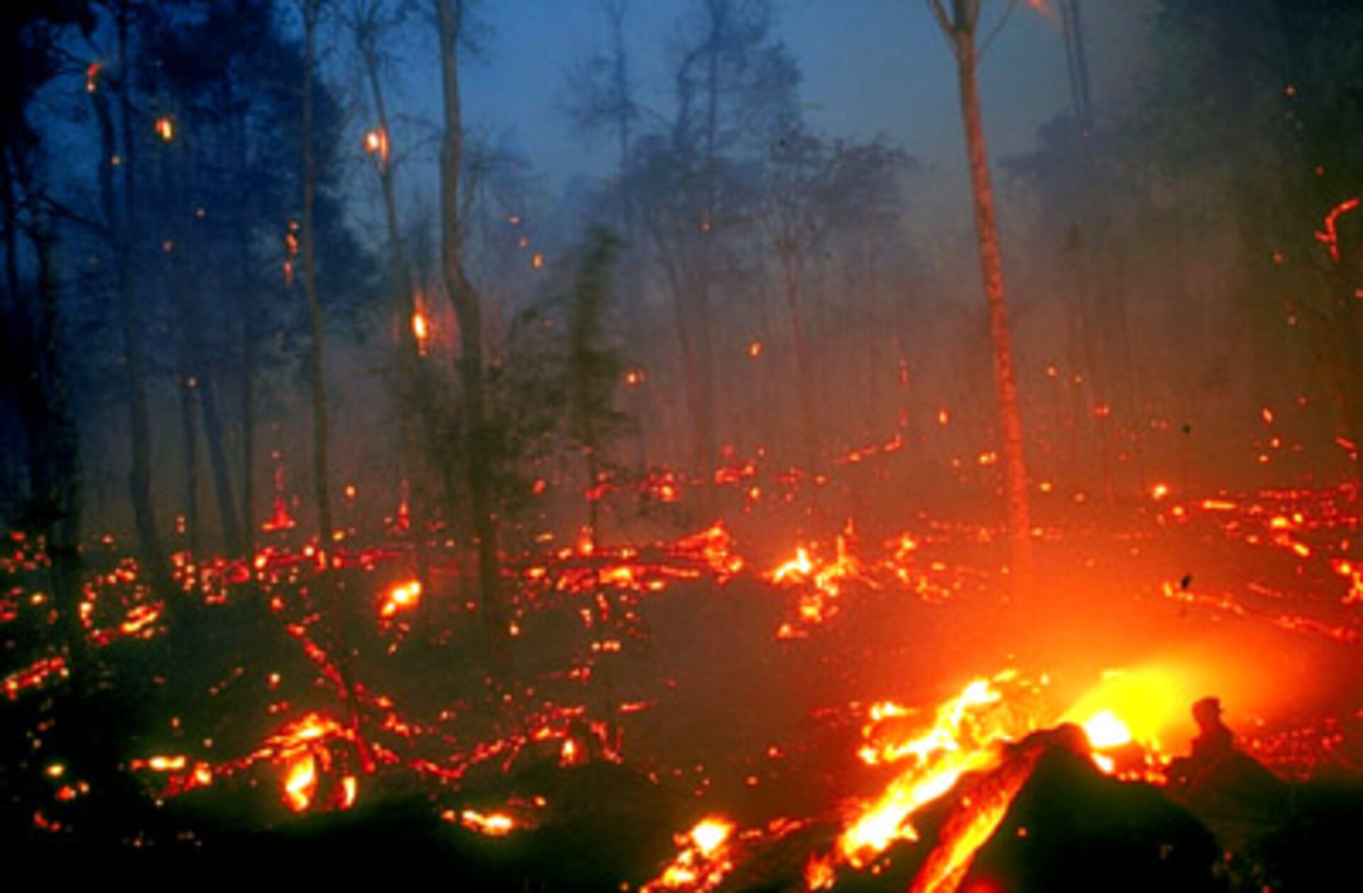
Los dos sensores radiométricos actúan como termómetros del cielo que miden la radiación térmica de infrarrojos para determinar la temperatura de la superficie terrestre. Los incendios se detectan con mayor facilidad en horas nocturnas, cuando la superficie circundante es más fría. Los sensores ATSR/AATSR clasifican las temperaturas superiores a 38,85 ºC (312 ºK) como incendios y son capaces de detectar fuegos tan pequeños como las llamas de gas de las instalaciones industriales, debido a su elevada temperatura.
El WFA es un proyecto interno así como el Programa de Datos para Usuarios (DUP).