
ESA to host Atmospheric Science Conference
ESA is holding a five-day Europhysics Conference at its ESRIN facilities in Frascati, Italy, from 8-12 May 2006, for data users, scientists and students working in the field of remote sensing of the atmosphere.
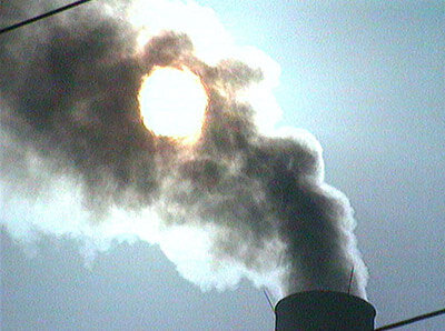
The composition of the atmosphere is changing as witnessed by global warming, acid rain, the depletion of the ozone layer and a global increase in asthma rates. As the long-term consequences of these changes are unknown, these phenomena need to be better understood to ensure accurate remedies are taken.
The overall objective of the ‘Atmospheric Science Conference’ is to provide scientists and researchers with the opportunity to present up-to-date results from their ongoing atmospheric research using space-based atmospheric sensors.
The specific objectives include: (a) providing a forum for ESA Principal Investigators to present first-hand results of projects; (b) providing a forum for knowledge exchange of scientists using atmospheric satellite measurements; (c) informing data users about instrument performance, data processing and data quality; (d) demonstrating the synergistic use of atmospheric and optical instruments; and (e) formulating recommendations for algorithm development.
The conference, with some 250 participants expected to attend, will include presentations that detail the current use of satellite instruments for remote sensing of trace gases in the stratosphere and troposphere, clouds, aerosols and UV information, pollution monitoring. Presentations will also be made on instrument performance, algorithms, data processing and data quality, data assimilation techniques, atmospheric applications development and user tools.
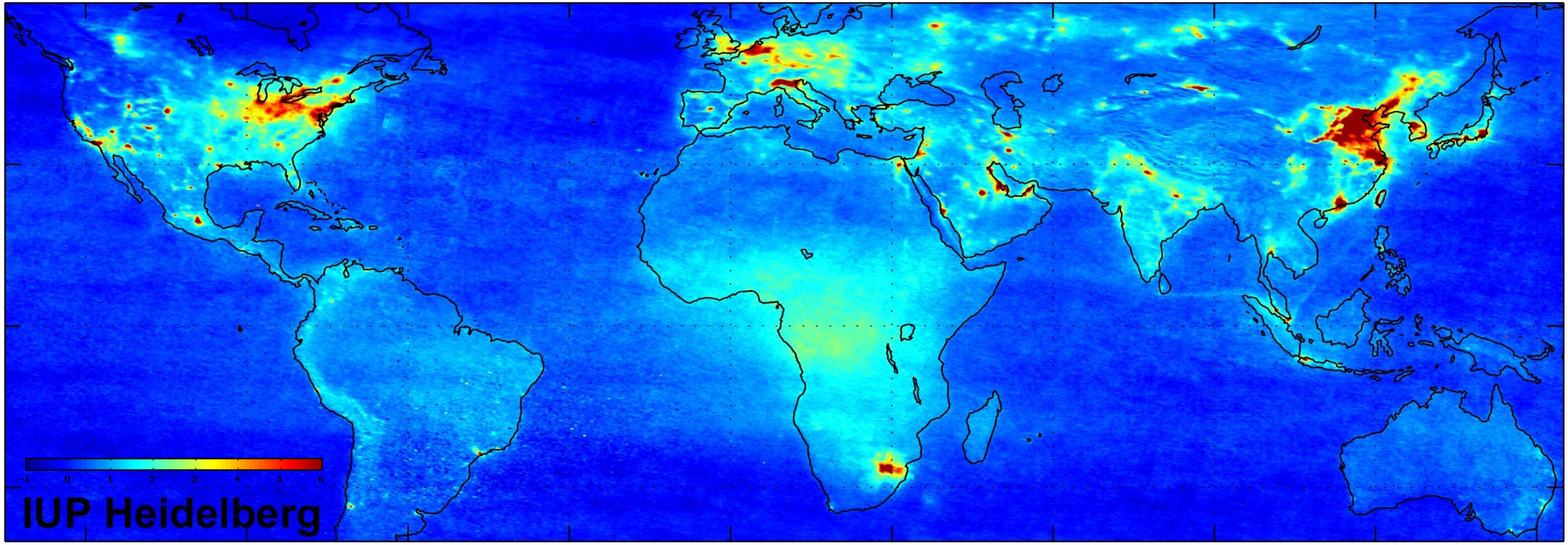
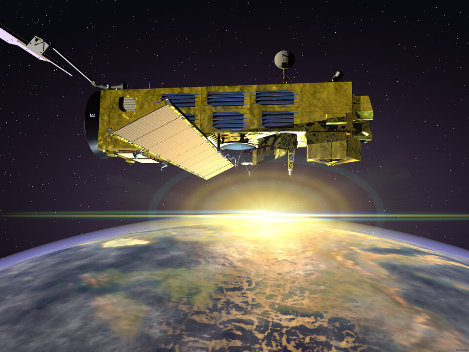
Atmospheric satellite sensors, such as ESA’s GOME-1 onboard ERS-2 and GOMOS, MIPAS and SCIAMACHY onboard Envisat as well as OMI onboard NASA's EOS-AURA and the FTS and MAESTRO instruments onboard the Canadian SCISAT, have a proven success record at looking vertically down to the Earth's surface or sideways to map the atmosphere in three dimensions. They produce high-resolution horizontal and vertical cross-sections of trace chemicals, dust particles and clouds, stretching from ground level to a hundred kilometres in the air, all across a variety of scales.
Instruments already in orbit can detect holes in the thinning ozone layer, plumes of aerosols and pollutants hanging over major cities or burning forests and exhaust trails left in the atmosphere by commercial airliners.
Satellites in orbit have made unique contributions to atmospheric science by witnessing the way our atmosphere functions as a dynamic system, and how it reacts to human inputs. Earth Observation will provide reliable indicators for the changes in the atmosphere and help model its current situation as well as predict the future consequences of our actions on the atmosphere and their likely effects on the Earth.


