ESA and Spot Image set precedence with data sharing
ESA and Spot Image, the company that distributes data commercially from the French Space Agency’s (CNES) Spot satellites, signed a multiyear agreement, which kicked off in January 2006, permitting ESA-accepted Category-1 projects to order more than 10 000 images per year from the Spot 1, 2, 3 and 4 satellites.
Category-1 users from Europe and Africa can submit proposals for the use of Spot data for research and applications development to ESA from 15 June 2006. Canadian Category-1 users are asked to inquire directly to Spot’s Canadian Channel Partner Iunctus Geomatics.
A test phase was implemented from January to May 2006 to ensure the interoperability and harmonisation of technical interfaces, such as cataloguing and ordering, between Spot Image and ESA systems.
The agreement allows ESA, for the first time, to offer high resolution optical data in large quantities from a non-ESA European mission to its Category-1 users. The data can be accessed the same way ESA data are – through ESA’s multi-mission ground segment, affording users the advantage of a ‘one-stop-shop’.
In return for access to the data, ESA will contribute to the operations of the Spot ESA shared ground receiving stations and processing facilities in Sweden and France.

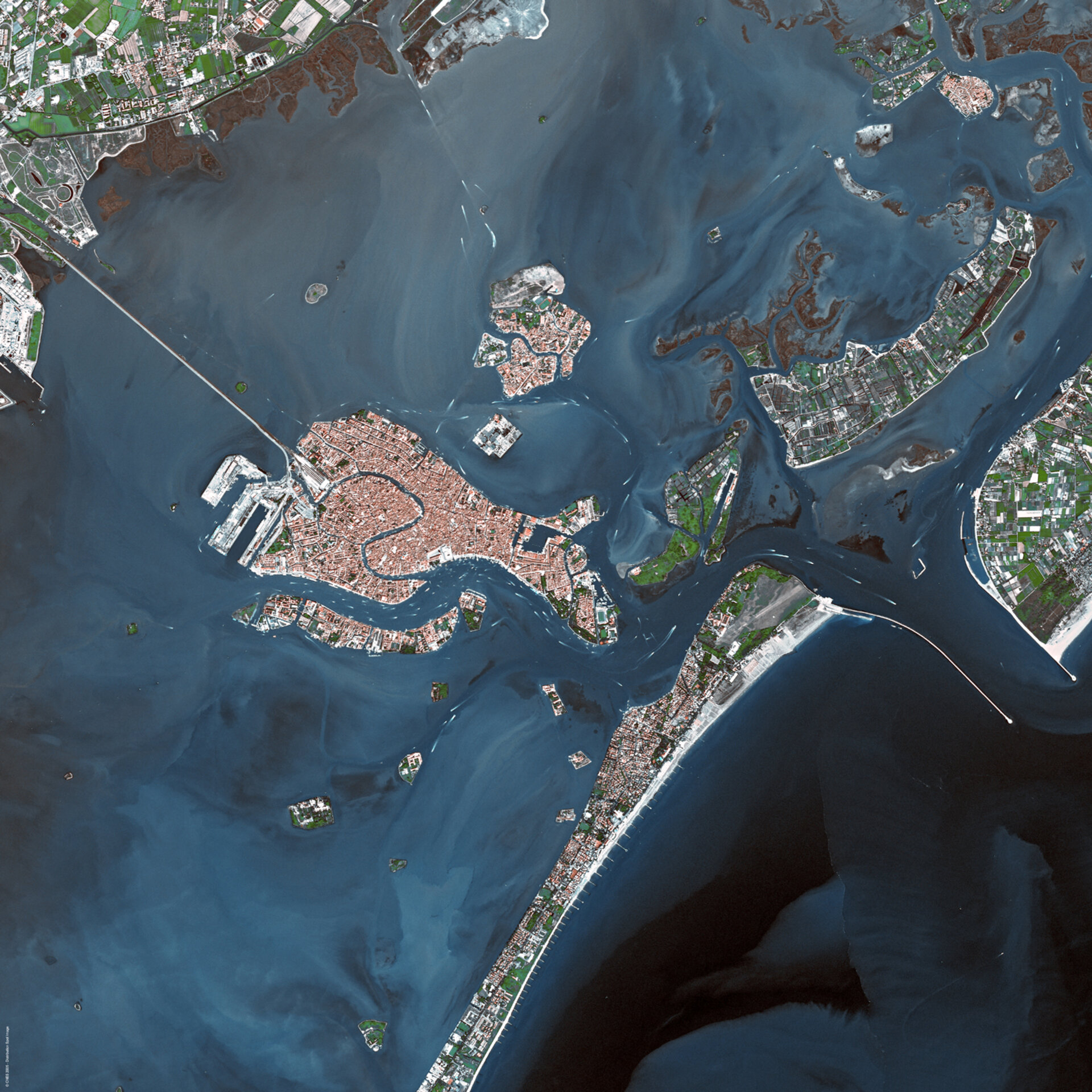
ESA will provide the data to all existing and newly approved ESA Category-1 Projects. The accessible data are from Spot’s High Resolution Visible and Near-Infrared (HRVIR) instruments which have a ground resolution of 10 metres in black and white and 20 metres in colour.
During the four-month interoperability and harmonization testing phase, service element projects of the Global Monitoring for Environment and Security (GMES) initiative served as pilot projects.
GMES, a joint initiative of the European Commission and ESA, aims to harmonise in-situ and space-based data to provide timely and quality data at global, regional and local levels. In addition, it will join all available scientific data on environmental and security issues and customise it to users’ specific needs. In this initiative, ESA is managing the GMES Space Component.
ESA and Spot Image will continue to refine and improve the technical interfaces in line with GMES’ ongoing projects, especially the Heterogeneous Mission Accessibility/Interoperability (HMA) activities.

The HMA project defines the necessary interfaces and a generic, service-oriented architecture to ensure interoperability within the GMES Space component comprising a constellation of satellites together with its Ground Segment and the interfaces to the other components of GMES.
Spot Image’s wide range of services makes it a leading supplier of satellite Earth observation geodata. Besides its commercial activities, the company has a mission to promote the use of satellite images; the agreement with ESA giving an easy access to the SPOT data encourages the scientific community to get involved in the space sector.
Under the framework of the GMES space component, ESA is responsible for providing access to National missions and other Third Party Missions through interoperable ground segment functionalities and for setting up data access agreements with the mission operators. Thus, ESA will seek extension of existing agreements already in place for Category-1 use and set up this type of agreement with other data providers in the near future.