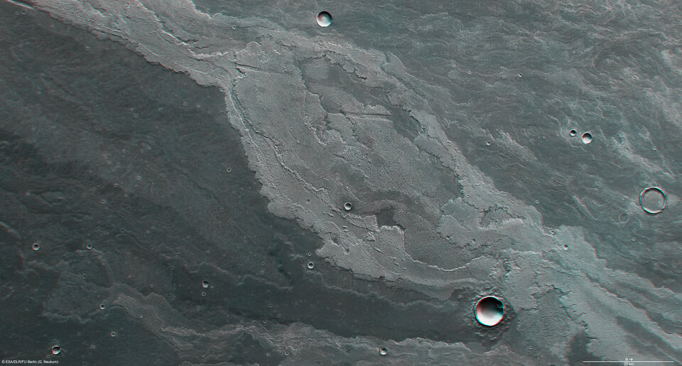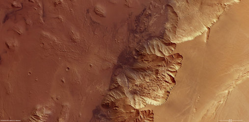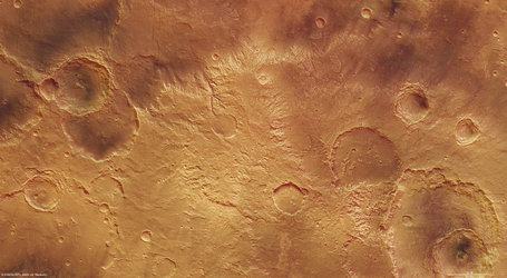
Lava flows in Daedalia Planum
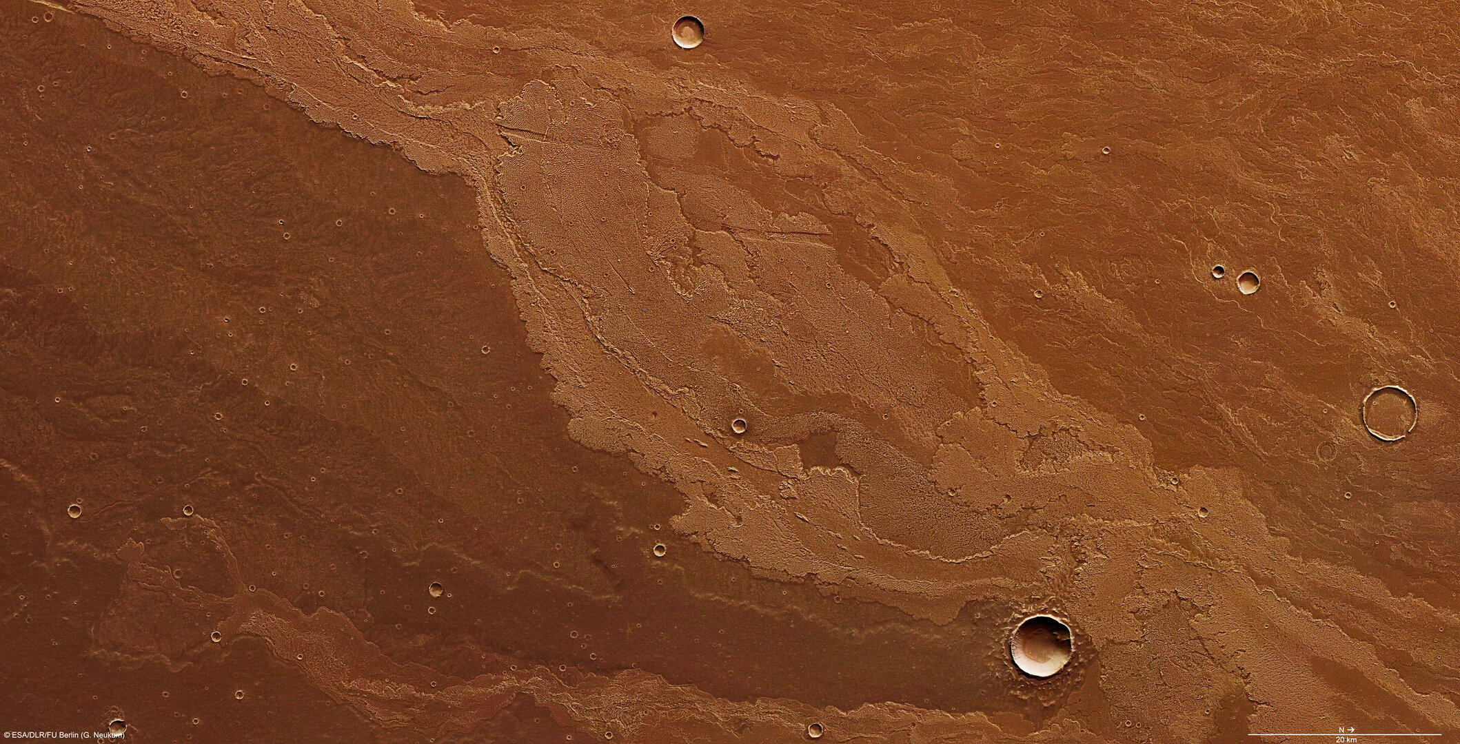
Mars Express imaged Daedalia Planum, a sparsely cratered, untextured plain on the Red Planet featuring solidified lava flows of varying ages.
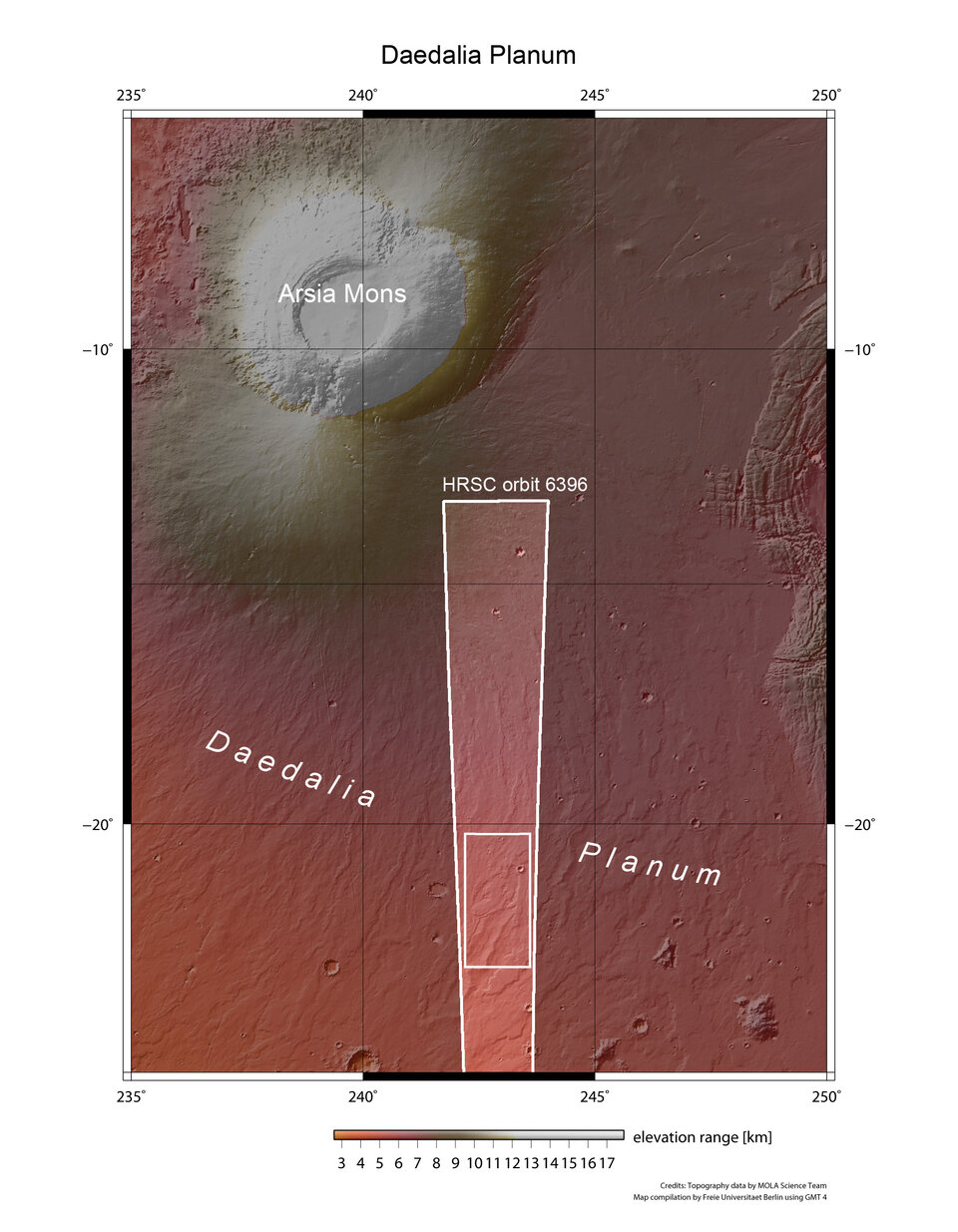
Daedalia Planum lies to the south-east of Arsia Mons, one of the largest volcanoes on Mars. It is 350 km in diameter and rises 14 km. The plain is dominated by numerous lava flows of varying ages.
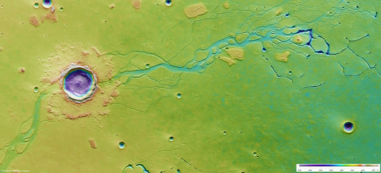
It lies at about 21°S / 243°E. The images have a ground resolution of about 17 m/pixel and cover about 150 x 75 km or 11 250 sq km, an area roughly the size of Jamaica.

The region features numerous solidified lava flows of different ages. These flows originate at the southern flank of Arsia Mons.

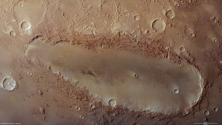
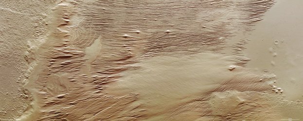
The map shows two lava flows: the younger flow (upper portion visible in nadir images) exhibits flow structures, pressure ridges as well as the central lava channel (upper right corner). An older flow visible in the lower portion has a smoother surface owing to gradual accumulation of sediments.

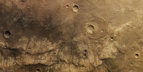
Two striking depressions lying almost at right angles to the lava flow are also visible in the upper portion of the imaged region. These structures are related to grabens that existed earlier (grabens are depressional features formed by faults in the crust).

It is likely that the lava flows invaded the grabens partially or filled them up completely. Where a graben was only partially filled, the original dimensions are still recognisable.
In the upper left of the nadir image is a portion of this feature that remains unmodified by the younger lava flows.

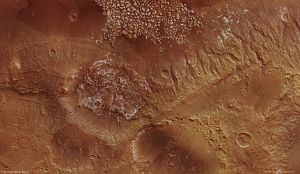
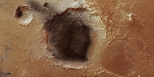
Existing impact craters have also been transformed by the lava flows. The two larger craters show different stages of modification (visible in the 3D image). The largest crater (bottom) was not affected by the lava flow but the ejecta blanket formed during the impact is partially covered in lava.
The second largest crater has been flooded almost entirely, although minor portions of the rim are still preserved. It is likely that the lava entered through a breach in the rim, filling it up. Fully covered impact craters, whose outlines are still visible, are also known as ghost craters. One such ghost crater is located in the immediate vicinity of the second largest impact crater.

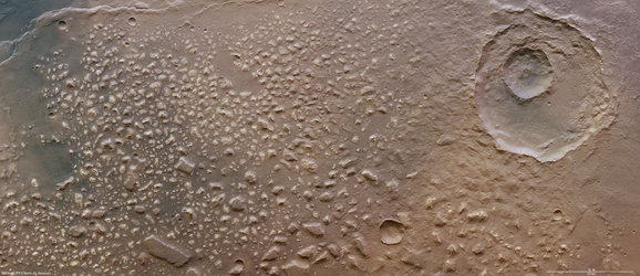
The colour scenes have been derived from the three HRSC-colour channels and the nadir channel. The perspective views have been calculated from the digital terrain model derived from the stereo channels. The anaglyph image was calculated from both stereo channels. The black and white high resolution images were derived from the nadir channel which provides the highest detail of all channels.