-
StoryAgency
Join ESA at the International Paris Air Show 2025


-
Agency Week in images: 09-13 June 2025

-
StoryScience & Exploration
Solar Orbiter gets world-first views of the Sun’s poles

-
Agency ESA Impact: Pick of our spring space snaps

ESA Vision
ESA Programmes
ESA and You
In the spotlight


Video
Enabling & Support
Ariane 6 first flight highlights

Recommended


Image
Science & Exploration
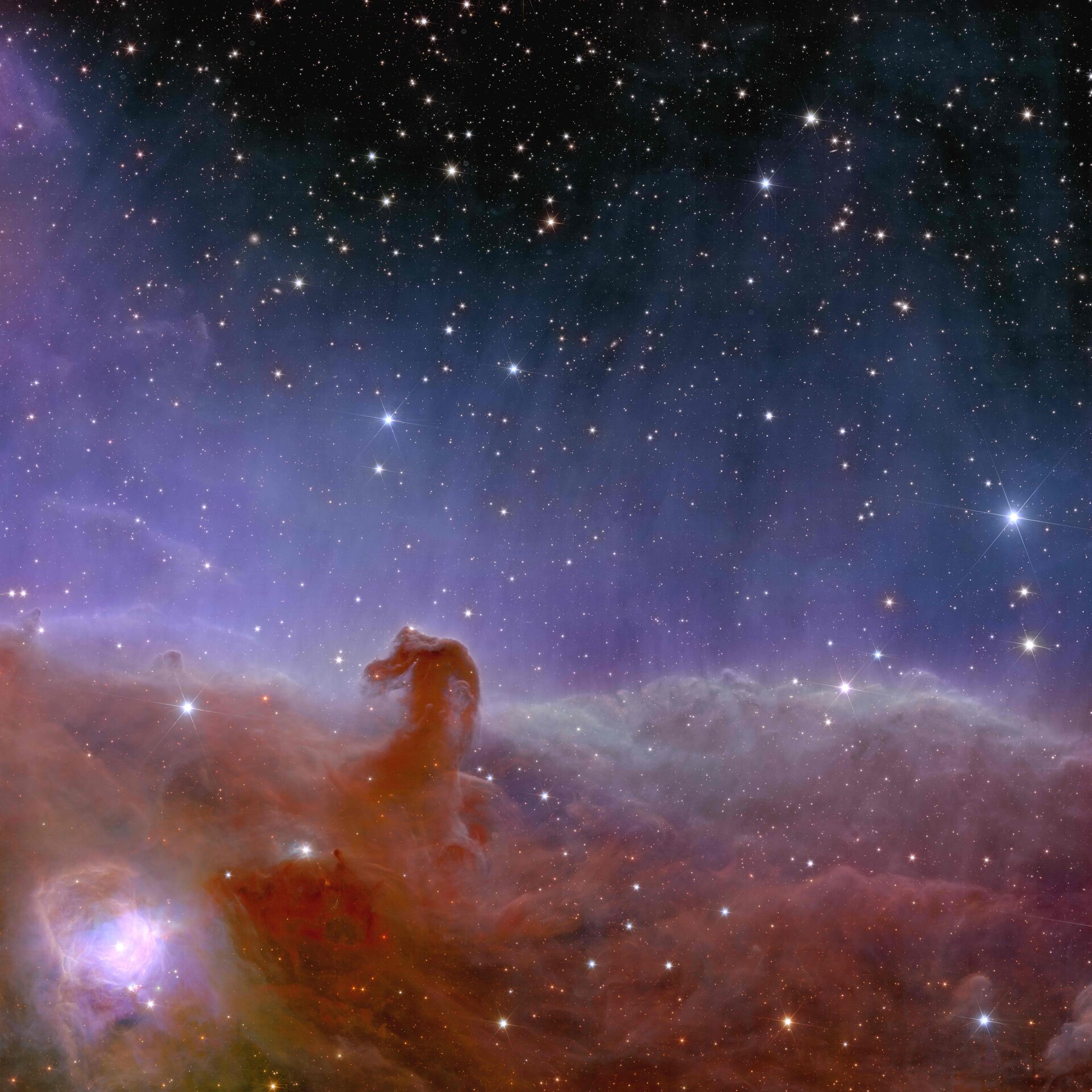
Euclid’s view of the Horsehead Nebula