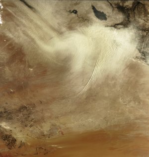
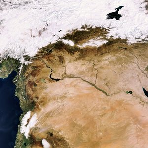
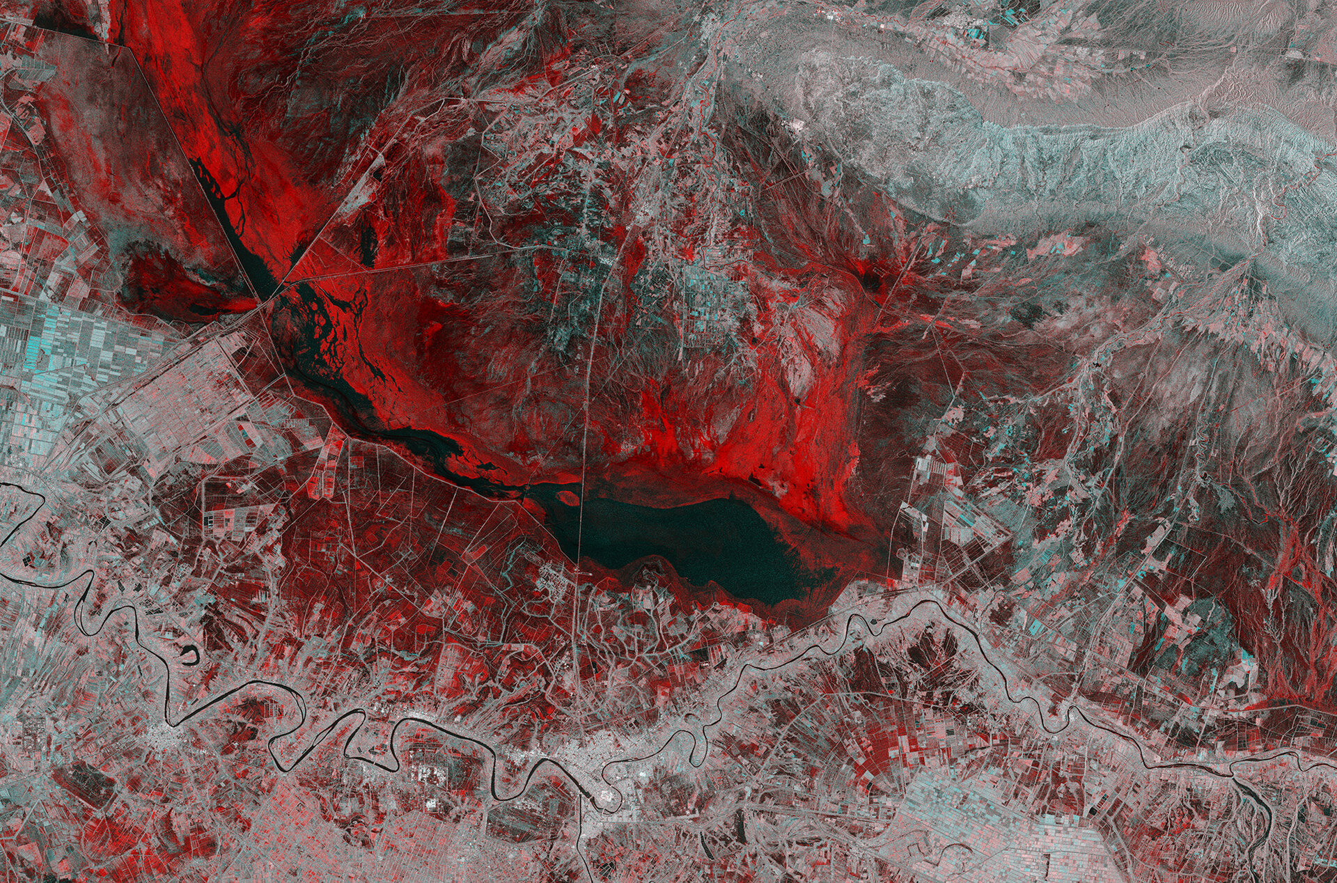
• → European Space Agency

      • Space for Europe
      • Space News
      • Space in Images
      • Space in Videos
    • About Us

      • Welcome to ESA
      • DG’s blog
      • For Member State Delegations
      • Business with ESA
      • Law at ESA
      • ESA Exhibitions
      • ESA Publications
      • Careers at ESA
      • ESAshop
    • Our Activities

      • Space News
      • Observing the Earth
      • Human and Robotic Exploration
      • Space Transportation
      • Navigation
      • Space Science
      • Space Engineering & Technology
      • Operations
      • Telecommunications & Integrated Applications
      • Preparing for the Future
    • Careers at ESA

    • For Media

      • Media
      • ESA TV
      • Videos for professionals
      • Photos
    • For Educators

    • For Kids

    • ESA

    • Space in Images

    ESA > Space in Images > 2019 > 02 > Iraq flood

    Free Search (23848 images)

    Iraq flood

    (2.25 MB)

    (378.44 MB)

    Details

    Open/Close
    • Title Iraq flood
    • Released 01/02/2019 10:00 am
    • Copyright contains modified Copernicus Sentinel data (2018), processed by ESA, CC BY-SA 3.0 IGO
    • Description

      This Copernicus Sentinel-1 image combines two acquisitions over the same area of eastern Iraq, one from 14 November 2018 before heavy rains fell and one from 26 November 2018 after the storms. The image reveals the extent of flash flooding in red, near the town of Kut.

      Kut is in the lower-centre of the image. It lies within a sharp ‘U-bend’ of the Tigris River, which can be seen meandering across the full width of the image. The image has been processed to show floods in red, and it is clear to see that much of the area was affected including agricultural fields around the town. Dark patches in the image, including the large patch in the centre , however, indicate that there was no or little change between the satellite acquisitions.

      After the searing dry heat of summer, November typically signals the start of Iraq’s ‘rainy season’ –but  November 2018 brought heavier rainstorms than usual. Many parts of the country were flooded as a result. Thousands of people had to be evacuated, and infrastructure, agricultural fields and other livelihoods were destroyed, and tragically the floods also claimed lives. Declared an emergency, the International Charter Space and Major Disasters was activated. The Charter takes advantage of observations from a multitude of satellites to aid emergency relief. Images from Copernicus Sentinel-1 contributed to this particular effort.

      The two identical Copernicus Sentinel-1 satellites carry radar instruments, which can see through clouds and rain, and in the dark, to image Earth’s surface below. This capability is particularly useful for monitoring and mapping floods, as the image shows. Satellite images play an increasingly important role in responding to disaster situations, especially when lives are at risk. Also, after an event, when damage assessments are needed and plans are being made to rebuild, images from satellites are a valuable resource.

      This image is also featured on the Earth from Space video programme.

    • Id 415988

    TAGS

    Open/Close
    • Click on the tags to find the matching images.
    • Activity Observing the Earth
    • Mission Sentinel-1
    • System Copernicus
    • Set Earth observation image of the week

    TAGS

    Open/Close

    Details

    Open/Close

    Rate this

    Views

    Comments

    Share

    • Currently 4.5 out of 5 Stars.
    • 1
    • 2
    • 3
    • 4
    • 5

    Rating: 4.7/5 (65 votes cast)

    Thank you for rating!

    You have already rated this page, you can only rate it once!

    Your rating has been changed, thanks for rating!

    2702 0
    Tweet

    COMMENTS

    Open/Close

    COMMENTS

    Open/Close

    RELATED IMAGES

    • Iraq dust storm 26 September 2008 Iraq dust storm 1015 Votes: 5
    • The Middle East 08 February 2008 The Middle East as seen by Envisat 1457 Votes: 10

    Related links

    • Image of the week archive

    • Earth observation

    USING OUR IMAGES

    Terms and conditions

    Contact us

    Commenting guidelines

    • Connect with us
    • Subscribe
    • mobile version
    • FAQ

    • Site Map

    • Contacts

    • Terms and conditions