

Agency
3-D digital elevation model of northern Chile
A 3-D digital elevation model done with interferometric techniques using tandem images acquired over northern Chile by ERS-1 and -2. Visible is an area from Chungara Lagoon to El Lauca National Reserve at the south of the model.

Remote control team’s view of SAFER rover

BepiColombo Earth flyby – what the spacecraft will see

BepiColombo’s Earth flyby – a final goodbye
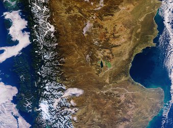
Southern Argentina and Chile
