Agency
Digital elevation model
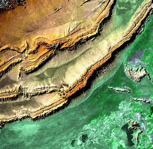
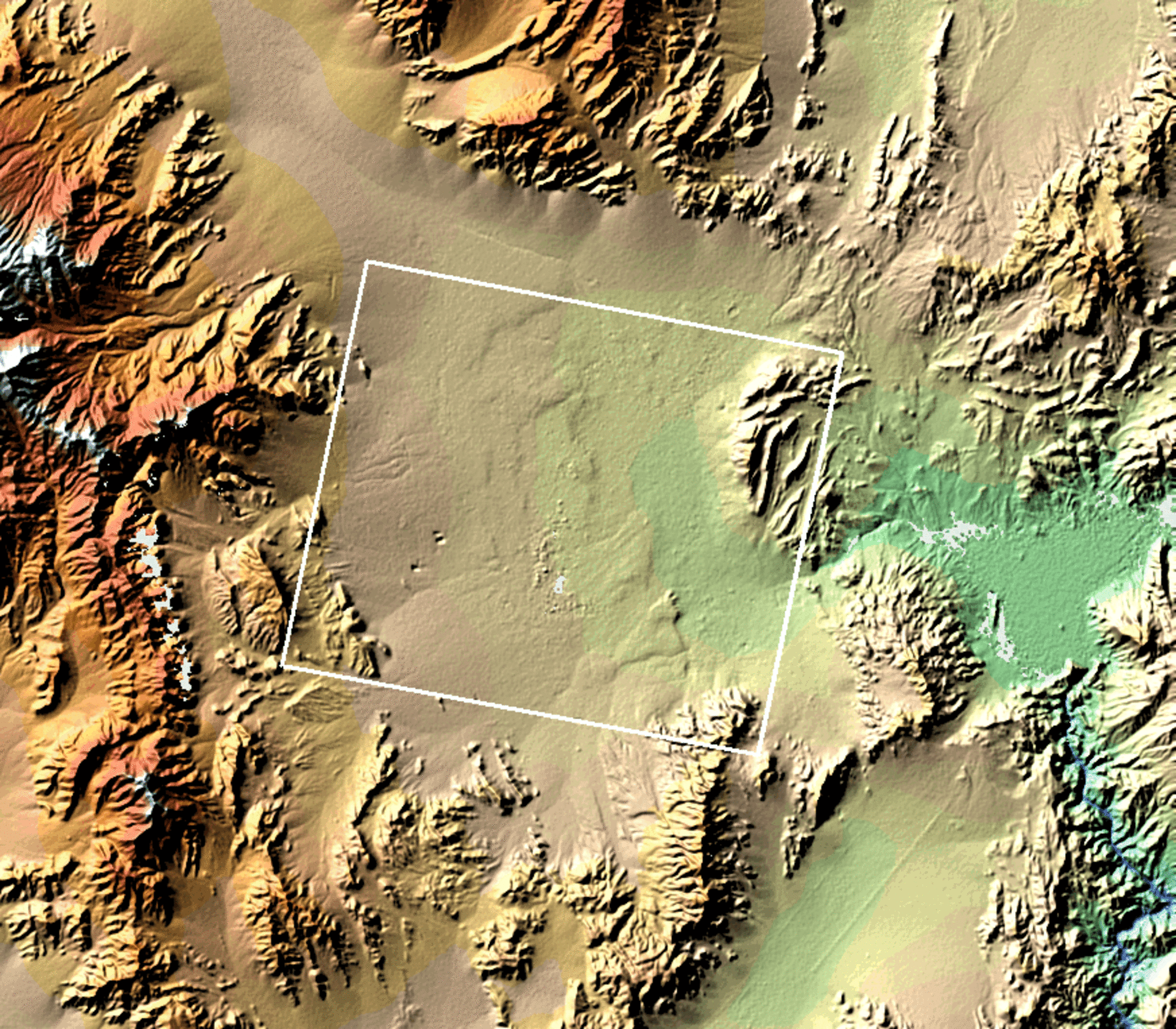
A digital elevation model (DEM) of the area covered by the ERS-2/Envisat interferogram produced by combining and analysing radar images from the ERS-2 spacecraft.
A digital elevation model (DEM) of the area covered by the ERS-2/Envisat interferogram produced by combining and analysing radar images from the ERS-2 spacecraft.