Agency
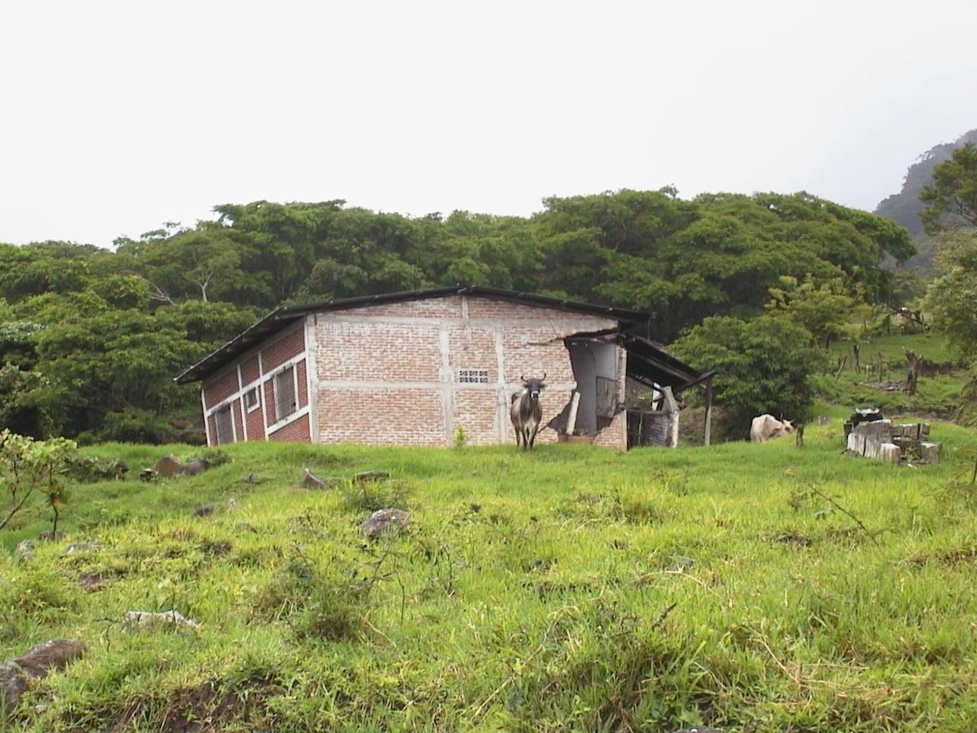
The aftermath of a June 2003 landslide in Matagalpa
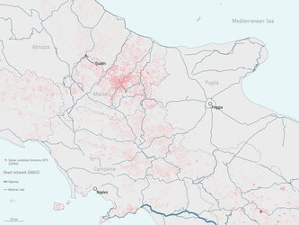
Landslides struck the Nicaraguan province of Matagalpa in June 2003, caused by heavy rainfall. UNOSAT-provided satellite data is being used to help zone new building development and minimise the danger from future landslides.