Applications
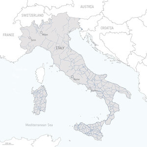
History of landslides and road network in southern Italy
This map shows the history of landslides in red using data from the Italian Landslide Inventory (IFFI), implemented by ISPRA, overlapped with the road network managed by ANAS in blue. The town of Quadri, Abruzzo, is highlighted as it has been used as an example during road planning phase to understand which route would be the least vulnerable to movements. Its historical displacement series can be found here.
Read full story: Satellite data now used for road infrastructure safety in Italy