Agency
Landcover monitoring
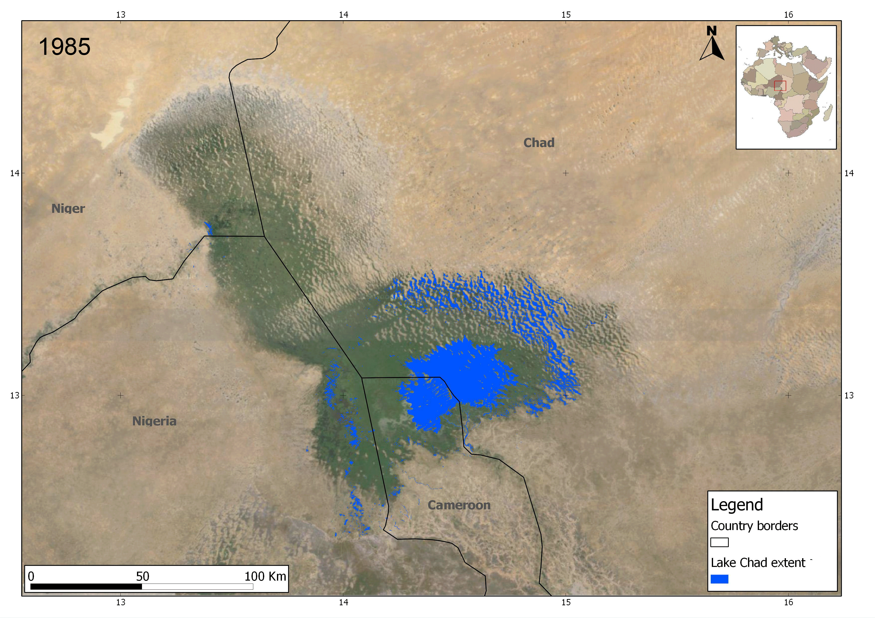
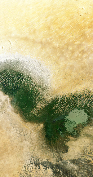
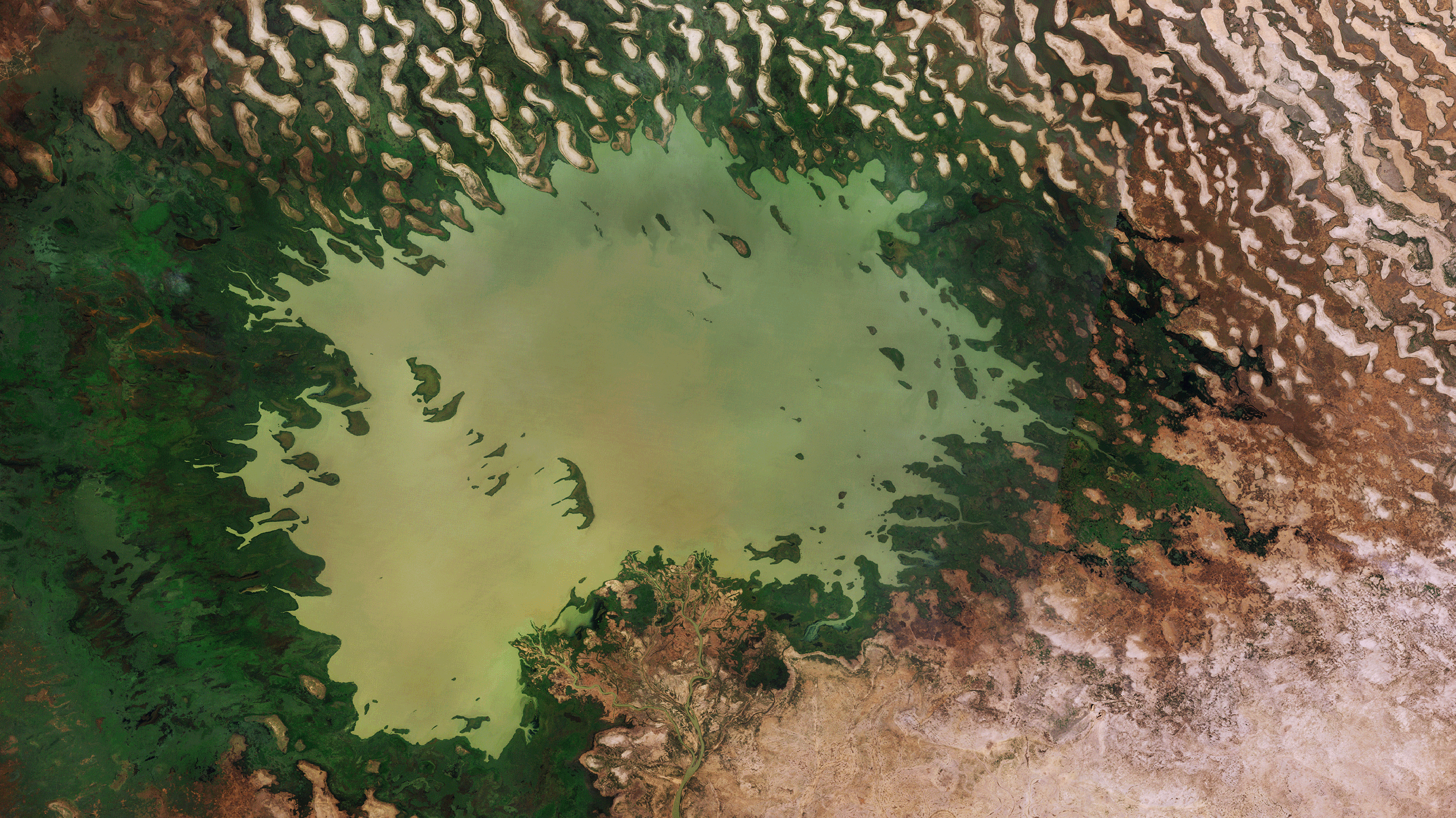
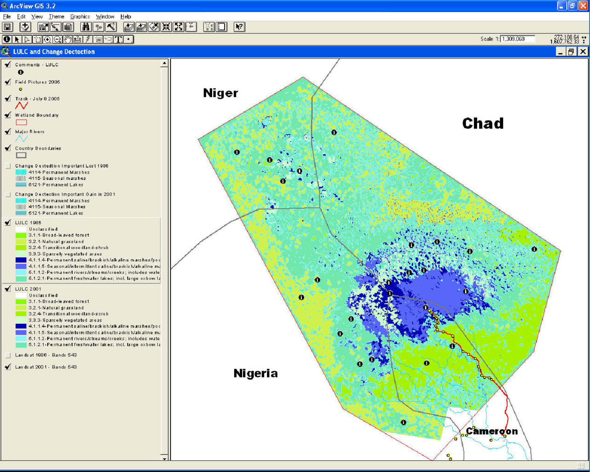
EO observations of the Lake Chad area have been used, jointly with ground information, to derive and analyse changes in landcover. The information, produced by the GlobWetland project, has been delivered in a Geographic Information System to the end-user, the lake Chad Basin Commission, as a tool to support management practices in the area.