Applications
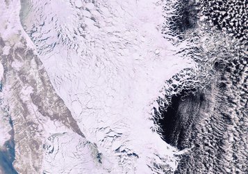
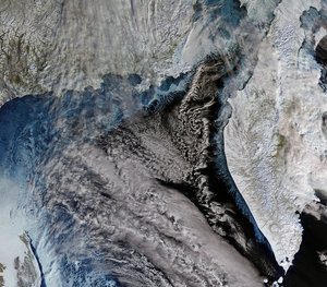
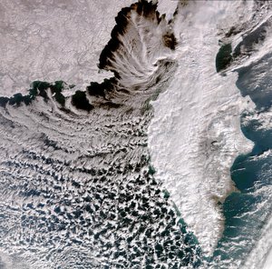
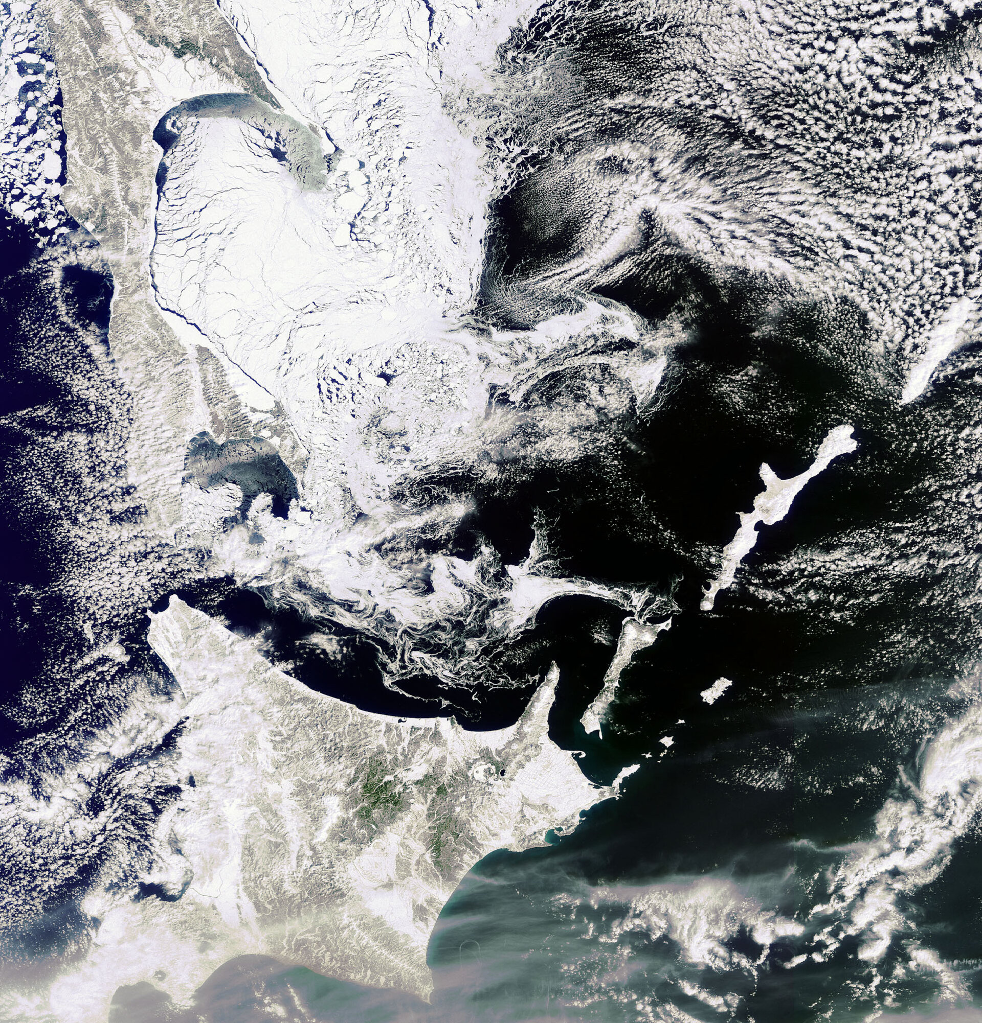
Sea ice in the Sea of Okhotsk
This image, acquired by Envisat's Medium Resolution Imaging Spectrometer (MERIS) instrument on 9 March 2010, captures sea ice in the Sea of Okhotsk off the northeastern coast of Russia’s Sakhalin Island (top left) and the northern tip of Japan’s Hokkaido Island (bottom left). Sea ice began forming in the northern area over the Sea of Okhotsk in November 2009. Since then, it extended down to about 30 km off the northern coast of Hokkaido and has likely reached its maximum.