Agency
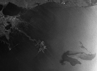
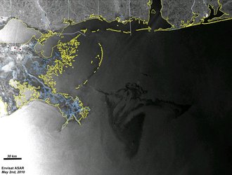
ASAR image for 12 May
In this Envisat Advanced Synthetic Aperture Radar (ASAR) image, acquired on 12 May 2010, advanced processing methods have been performed to display ocean surface roughness variations and Doppler-derived ocean surface radial velocities around the oil spill area in the Gulf of Mexico. The proximity of the oil spill (outlined in white) is seen in relation to the Loop Current (red arrow).