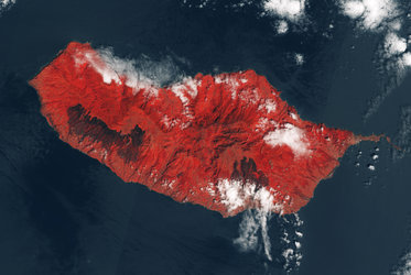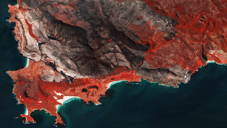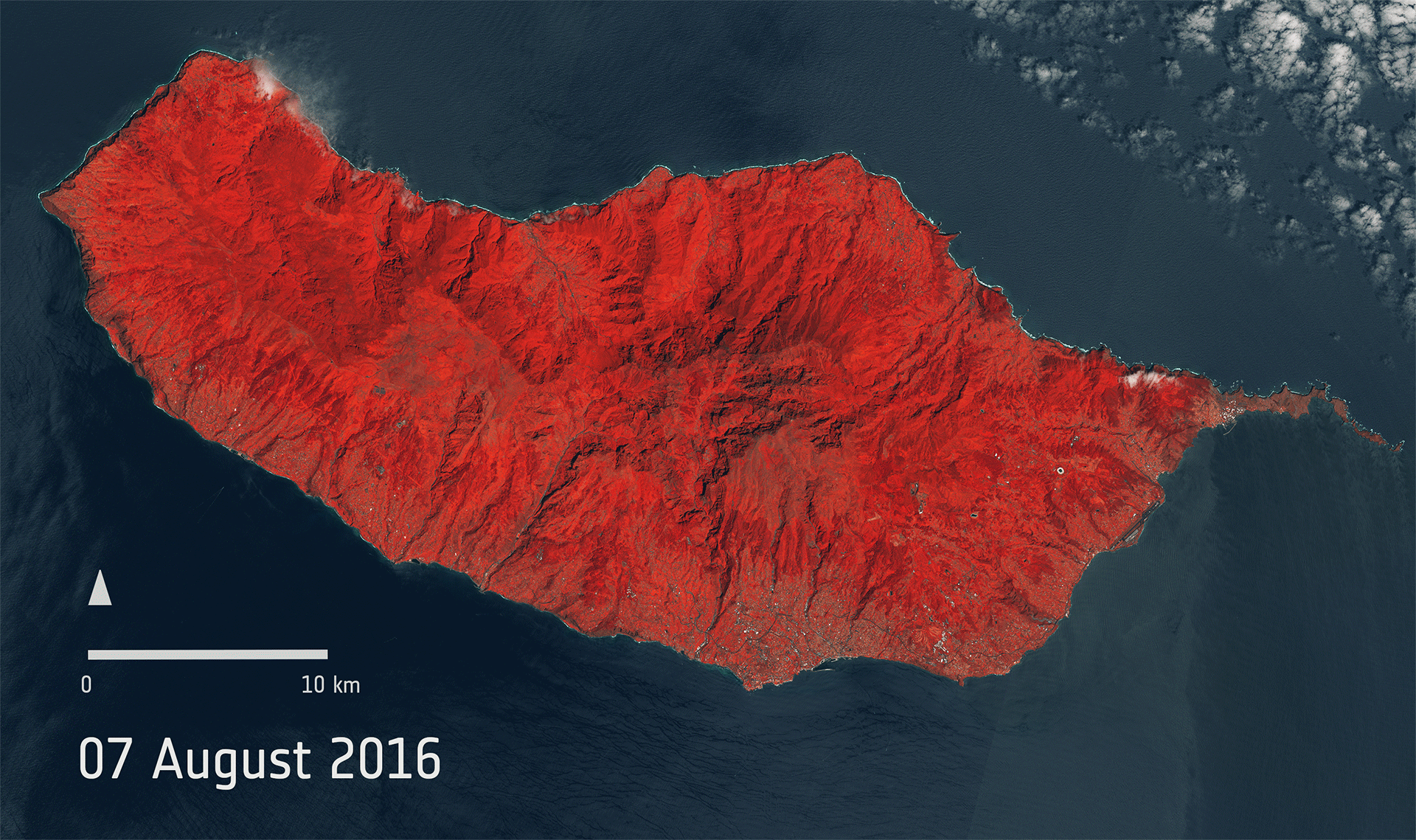
Fire-scarred Madeira
These two images from Sentinel-2A show the beautiful lush Portuguese main island of Madeira before and after it was devastated by wildfires in August 2016. Madeira is famous for its rugged green landscape and is home to unique endemic flora and fauna. In fact, two thirds of the island is given over to national park to protect this natural environment.
These ‘false-colour’ images show vegetation in red. By contrast, the image from 17 August shows large black patches where the fires encroached on the capital Funchal in the southeast and also further to the west, leaving the land scarred.
Carrying a high-resolution multispectral optical imager, Sentinel-2A is used to monitor changes in vegetation. This mission offers key information to optimise crop yield, thereby helping to improve food security. Data can be used to measure leaf area, leaf chlorophyll and leaf water content to monitor plant growth, which is particularly important during the growing season. It will be used to generate land-cover maps, to track changes in the way land is being used and to monitor the world’s forests.
The fires on Madeira were also captured by ESA’s Proba-V mission.