Applications
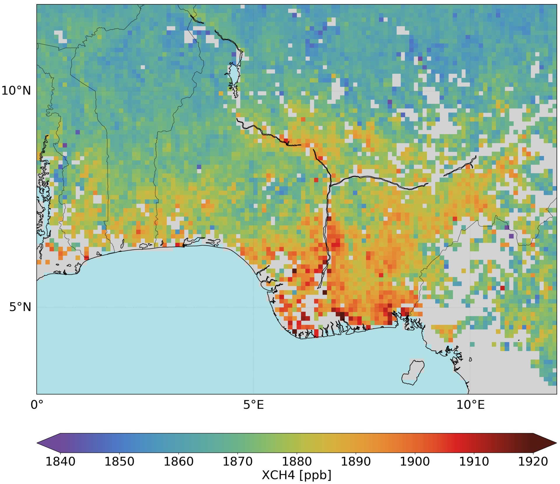
Methane over wetlands in Nigeria
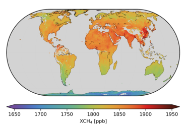
Atmospheric methane mapped by the Copernicus Sentinel-5P mission over wetlands in Nigeria between November 2018 and February 2019. Methane is a potent greenhouse gas that enters the atmosphere mainly from the fossil fuel industry, landfill sites, livestock farming, rice agriculture and wetlands. Thanks to the mission’s spatial resolution of 7 x 7 km and global coverage every 24 hours, methane emissions can be mapped on regional scales and also for larger point sources. These data are now available to the user community.
Read full story: Methane and ozone data products from Copernicus Sentinel-5P