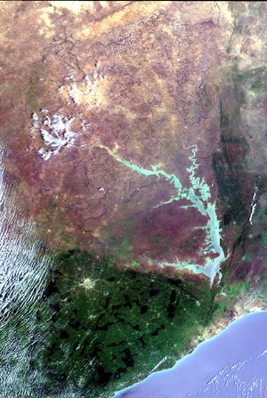
Agency
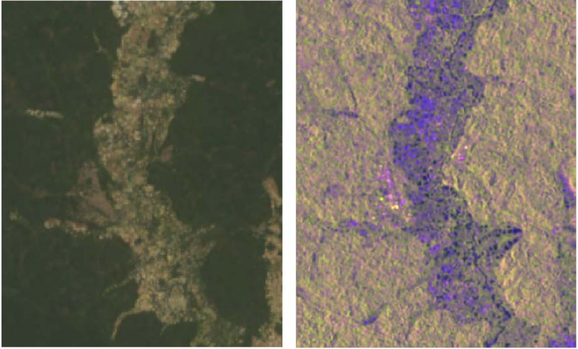
Satellite images of potentially illegal land mines in Obuasi, Ghana, in May 2018
NASA Landsat (left) and Copernicus Sentinel-1 (right) images of potentially illegal mines in Obuasi, Ghana, in May 2018.
These images were provided through the Africa Regional Data Cube (ARDC), an open platform comprising 17 years’ worth of satellite data.
The ARDC was developed by the NGO Global Partnership for Sustainable Development Data (GPSDD). This global network is dedicated to expanding the availability of data, including Earth observation data from the Copernicus Sentinel satellites.