Applications
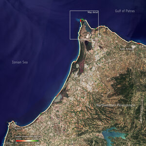
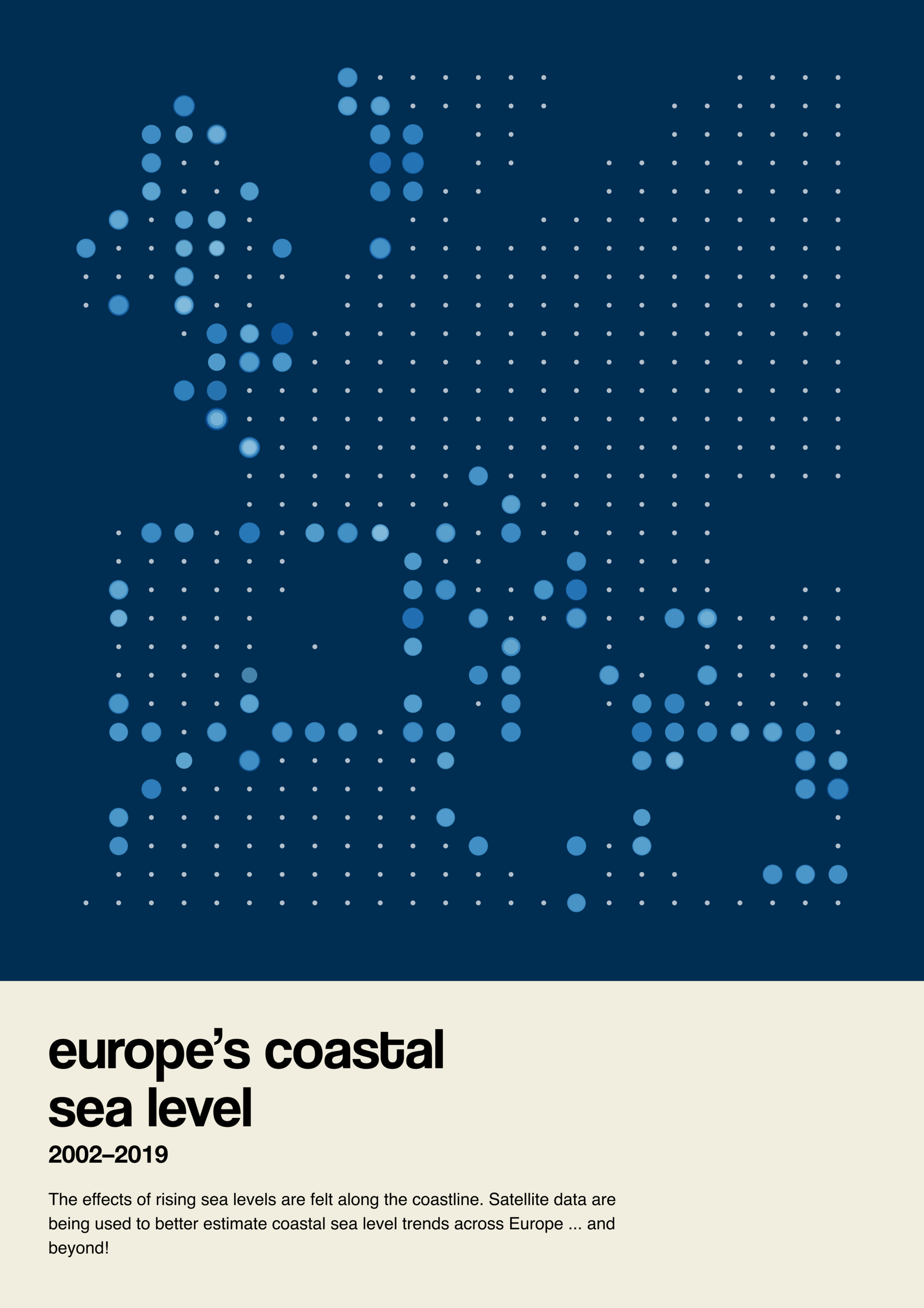
Sea level along Europe’s coastline
The impacts of rising sea levels are felt along the coast. Satellite data provide a key role in improving better estimation of coastal sea level trends across Europe...and beyond!
This illustration highlights data from 'virtual' coastal sea level stations, using re-processed satellite altimetry data around Europe’s coastline.
Access the full Little Pictures of Climate gallery
Read more about the competition: Showcase your climate data visualisation talent
Apply here: Little Pictures of climate competition 2023