Applications
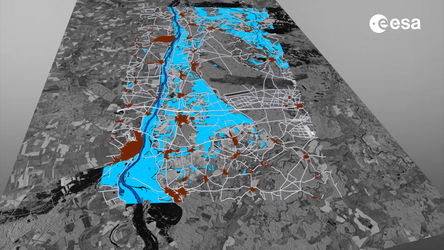
The Copernicus Emergency Management Service monitors the floods in Valencia, Spain
Grading map over Horta Sud, showing damaged features and flood traces. The map is based on Geoeye-2 data acquired on 31 October and was provided by the Copernicus Emergency Rapid Mapping Service (EMS).