Applications
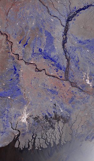
Flash flood modelling in Bangladesh
This image was created with flash flood modelling by a project supported by ESA’s Global Development Assistance Programme. It represents water depth, velocity and hazard classes during 2023 and the data were captured by the Copernicus Sentinel-1 satellite.
Read full story: Satellite data streamlines global development finance