Eurasian and Indian tectonic plates collision zone
A study on tectonic plates that converge on the Tibetan Plateau has shown that tectonic lines are far weaker and the continents are less rigid than scientists previously thought. The study, published in Science, includes several high-resolution maps based on data from Copernicus Sentinel-1 satellites.
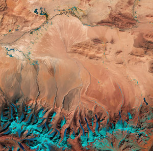
The Tibetan Plateau, often called the ‘roof of the world’, was formed by the ongoing collision of the Indian and Eurasian tectonic plates. This region, north of the Himalayas and south of the Kunlun mountains in China, covers about 2.5 million sq km and has an average elevation above 4500 m. The plateau spans numerous countries including the Tibet Autonomous Region, several Chinese provinces, as well as parts of India, Pakistan, Nepal, Bhutan, Tajikistan and Kyrgyzstan.
Whereas previous models often considered the Tibetan Plateau as a mosaic of strong, rigid blocks separated by major faults that slip horizontally past each other, these findings show that the fault lines are weaker than previously thought.
Read full story: New satellite view of Tibet’s tectonic clash