Applications
All eyes on screen for HydroGNSS
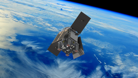
Just three months after launch, the European Space Agency’s twin HydroGNSS satellites are already proving their capabilities in orbit. By exploiting reflected signals from navigation satellites – the sophisticated technique they use to generate Delay Doppler Maps in order to ‘scout’ for water across Earth’s surface – these compact satellites are beginning to reveal the scientific potential they were built to unlock, even while still in their commissioning phase.
The photograph shows the commissioning team closely monitoring the screens as the first results come in at Surrey Satellite Technology Ltd (SSTL) in the UK.
Read full story: ESA’s HydroGNSS on track to scout for water